Distance to Hernando County, Florida

Calculating Your Route
Just a moment while we process your request...
Location Information
-
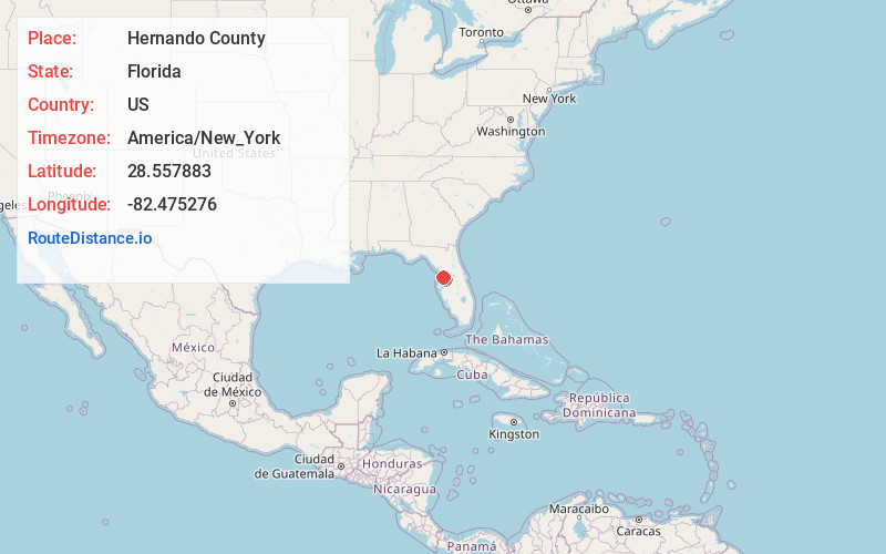
Full AddressHernando County, FL
-
Coordinates28.5578826, -82.4752757
-
LocationFlorida , US
-
TimezoneAmerica/New_York
-
Current Local Time8:38:23 AM America/New_YorkSunday, June 22, 2025
-
Page Views0
About Hernando County
Hernando County is a county located on the west central coast of the U.S. state of Florida. As of the 2020 census, the population was 194,515. Its county seat is Brooksville, and its largest community is Spring Hill. Hernando County is included in the Tampa-St. Petersburg-Clearwater, FL Metropolitan Statistical Area.


Nearby Places
Found 10 places within 50 miles

Brookridge
1.1 mi
1.8 km
Brookridge, FL 34613
Get directions
High Point
3.1 mi
5.0 km
High Point, FL 34613
Get directions
Camps
3.6 mi
5.8 km
Camps, FL 34601
Get directions
North Brooksville
4.2 mi
6.8 km
North Brooksville, FL 34601
Get directions
North Weeki Wachee
5.0 mi
8.0 km
North Weeki Wachee, FL
Get directions

Brooksville
5.3 mi
8.5 km
Brooksville, FL
Get directions
Powell
5.3 mi
8.5 km
Powell, South Brooksville, FL 34601
Get directions
South Brooksville
5.8 mi
9.3 km
South Brooksville, FL
Get directions

Garden Grove
5.9 mi
9.5 km
Garden Grove, FL 34604
Get directions

Spring Hill
6.4 mi
10.3 km
Spring Hill, FL
Get directions
Location Links
Local Weather
Weather Information
Coming soon!
Location Map
Static map view of Hernando County, Florida
Browse Places by Distance
Places within specific distances from Hernando County
Short Distances
Long Distances
Click any distance to see all places within that range from Hernando County. Distances shown in miles (1 mile ≈ 1.61 kilometers).