Distance to Hiawatha, Utah

Calculating Your Route
Just a moment while we process your request...
Location Information
-
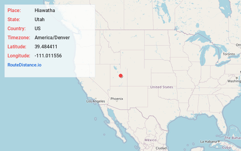
Full AddressHiawatha, UT 84501
-
Coordinates39.4844111, -111.0115559
-
LocationUtah , US
-
TimezoneAmerica/Denver
-
Current Local Time6:00:08 PM America/DenverThursday, June 19, 2025
-
Page Views0
About Hiawatha
Hiawatha is an unincorporated community and near-ghost town, formerly a coal mining town in southwestern Carbon County, Utah, United States.


Nearby Places
Found 10 places within 50 miles

Huntington
11.2 mi
18.0 km
Huntington, UT 84528
Get directions

West Wood
12.3 mi
19.8 km
West Wood, UT 84501
Get directions

Elmo
12.4 mi
20.0 km
Elmo, UT 84521
Get directions
Wildcat
12.5 mi
20.1 km
Wildcat, UT 84526
Get directions

Cleveland
12.7 mi
20.4 km
Cleveland, UT 84518
Get directions

Price
13.3 mi
21.4 km
Price, UT 84501
Get directions

Clear Creek
13.4 mi
21.6 km
Clear Creek, UT 84526
Get directions

Spring Glen
14.7 mi
23.7 km
Spring Glen, UT 84526
Get directions

Wellington
15.3 mi
24.6 km
Wellington, UT
Get directions

Helper
16.1 mi
25.9 km
Helper, UT 84526
Get directions
Location Links
Local Weather
Weather Information
Coming soon!
Location Map
Static map view of Hiawatha, Utah
Browse Places by Distance
Places within specific distances from Hiawatha
Short Distances
Long Distances
Click any distance to see all places within that range from Hiawatha. Distances shown in miles (1 mile ≈ 1.61 kilometers).