Distance to Hickory, Kentucky

Calculating Your Route
Just a moment while we process your request...
Location Information
-
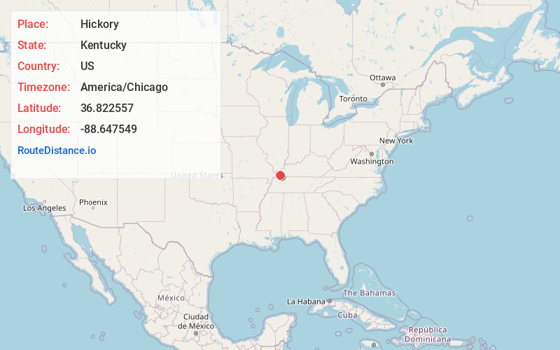
Full AddressHickory, KY
-
Coordinates36.8225566, -88.6475492
-
LocationHickory , Kentucky , US
-
TimezoneAmerica/Chicago
-
Current Local Time11:55:46 PM America/ChicagoWednesday, June 18, 2025
-
Page Views0
About Hickory
Hickory is a census-designated place in Graves County, Kentucky, United States., which is located north of Mayfield and 18 miles south of Paducah in far western Kentucky.
Hickory was laid out in 1856 along the tracks of Illinois Central Gulf railroad, and named for the large hickory trees dotting the landscape.
Nearby Places
Found 10 places within 50 miles

Mayfield
5.6 mi
9.0 km
Mayfield, KY 42066
Get directions

Fancy Farm
8.1 mi
13.0 km
Fancy Farm, KY 42039
Get directions

Lowes
8.2 mi
13.2 km
Lowes, KY
Get directions
Pryorsburg
9.8 mi
15.8 km
Pryorsburg, KY
Get directions
Symsonia
9.8 mi
15.8 km
Symsonia, KY 42082
Get directions
Farmington
12.5 mi
20.1 km
Farmington, KY
Get directions

Sedalia
12.7 mi
20.4 km
Sedalia, KY
Get directions

Wingo
13.4 mi
21.6 km
Wingo, KY 42088
Get directions

Cunningham
14.6 mi
23.5 km
Cunningham, KY
Get directions

Reidland
14.9 mi
24.0 km
Reidland, KY 42003
Get directions
Location Links
Local Weather
Weather Information
Coming soon!
Location Map
Static map view of Hickory, Kentucky
Browse Places by Distance
Places within specific distances from Hickory
Short Distances
Long Distances
Click any distance to see all places within that range from Hickory. Distances shown in miles (1 mile ≈ 1.61 kilometers).