Distance to Hickory Valley, Arkansas

Calculating Your Route
Just a moment while we process your request...
Location Information
-
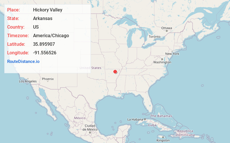
Full AddressHickory Valley, AR 72521
-
Coordinates35.8959073, -91.5565264
-
LocationArkansas , US
-
TimezoneAmerica/Chicago
-
Current Local Time6:42:54 PM America/ChicagoTuesday, May 27, 2025
-
Page Views0
Nearby Places
Found 10 places within 50 miles

Cave City
3.2 mi
5.1 km
Cave City, AR 72521
Get directions

Sandtown
4.4 mi
7.1 km
Sandtown, AR 72501
Get directions
Pfeiffer
5.2 mi
8.4 km
Pfeiffer, AR 72501
Get directions
Maxville
6.7 mi
10.8 km
Maxville, AR 72521
Get directions
Gainsboro
7.0 mi
11.3 km
Gainsboro, AR 72501
Get directions
Cedar Grove
7.9 mi
12.7 km
Cedar Grove, AR 72579
Get directions
Charlotte
8.6 mi
13.8 km
Charlotte, AR
Get directions
Moorefield
8.9 mi
14.3 km
Moorefield, AR 72501
Get directions
Sidney
9.4 mi
15.1 km
Sidney, AR
Get directions
Shelbyville
9.8 mi
15.8 km
Shelbyville, AR 72521
Get directions
Location Links
Local Weather
Weather Information
Coming soon!
Location Map
Static map view of Hickory Valley, Arkansas
Browse Places by Distance
Places within specific distances from Hickory Valley
Short Distances
Long Distances
Click any distance to see all places within that range from Hickory Valley. Distances shown in miles (1 mile ≈ 1.61 kilometers).