Distance to High, Texas

Calculating Your Route
Just a moment while we process your request...
Location Information
-
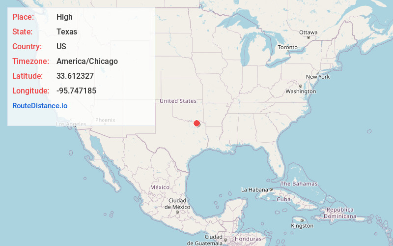
Full AddressHigh, TX 75470
-
Coordinates33.6123265, -95.747185
-
LocationTexas , US
-
TimezoneAmerica/Chicago
-
Current Local Time9:42:56 PM America/ChicagoThursday, May 29, 2025
-
Page Views0
Nearby Places
Found 10 places within 50 miles

Brookston
2.8 mi
4.5 km
Brookston, TX 75421
Get directions
Petty
3.7 mi
6.0 km
Petty, TX 75470
Get directions
Roxton
4.7 mi
7.6 km
Roxton, TX 75477
Get directions
Noble
5.0 mi
8.0 km
Noble, TX 75470
Get directions
Ambia
5.2 mi
8.4 km
Ambia, TX 75460
Get directions
Maxey
6.3 mi
10.1 km
Maxey, TX 75421
Get directions
Toco
6.5 mi
10.5 km
Toco, TX 75421
Get directions
Harmon
7.7 mi
12.4 km
Harmon, TX 75446
Get directions
Tigertown
7.7 mi
12.4 km
Tigertown, TX 75446
Get directions
Atlas
8.1 mi
13.0 km
Atlas, TX 75460
Get directions
Location Links
Local Weather
Weather Information
Coming soon!
Location Map
Static map view of High, Texas
Browse Places by Distance
Places within specific distances from High
Short Distances
Long Distances
Click any distance to see all places within that range from High. Distances shown in miles (1 mile ≈ 1.61 kilometers).