Distance to Toco, Texas

Calculating Your Route
Just a moment while we process your request...
Location Information
-
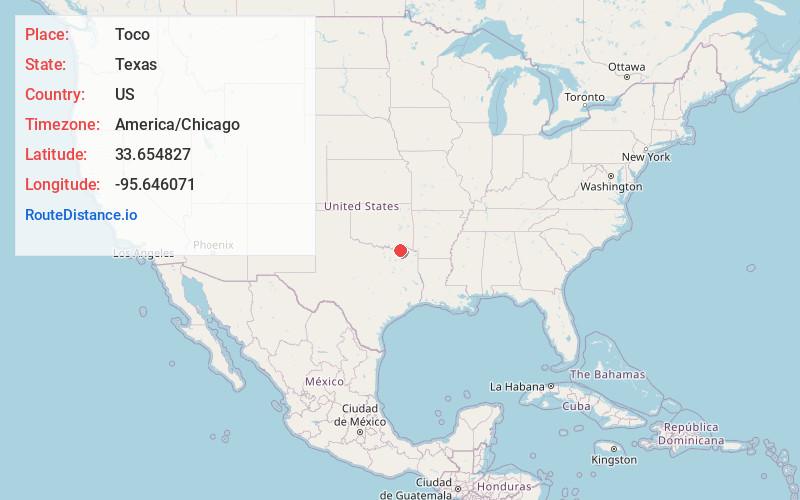
Full AddressToco, TX 75421
-
Coordinates33.6548268, -95.6460712
-
LocationToco , Texas , US
-
TimezoneAmerica/Chicago
-
Current Local Time11:57:09 AM America/ChicagoWednesday, June 18, 2025
-
Page Views0
About Toco
Toco is a city in Lamar County, Texas, United States. The population was 75 at the 2010 census, and 91 in 2020.
Nearby Places
Found 10 places within 50 miles

Paris
5.2 mi
8.4 km
Paris, TX
Get directions

Roxton
8.8 mi
14.2 km
Roxton, TX 75477
Get directions
Petty
10.1 mi
16.3 km
Petty, TX 75470
Get directions

Sun Valley
12.5 mi
20.1 km
Sun Valley, TX 75462
Get directions

Powderly
12.9 mi
20.8 km
Powderly, TX 75473
Get directions

Blossom
15.0 mi
24.1 km
Blossom, TX
Get directions

Honey Grove
16.0 mi
25.7 km
Honey Grove, TX 75446
Get directions

Pecan Gap
19.0 mi
30.6 km
Pecan Gap, TX
Get directions

Cooper
19.6 mi
31.5 km
Cooper, TX 75432
Get directions
Deport
21.0 mi
33.8 km
Deport, TX 75435
Get directions
Location Links
Local Weather
Weather Information
Coming soon!
Location Map
Static map view of Toco, Texas
Browse Places by Distance
Places within specific distances from Toco
Short Distances
Long Distances
Click any distance to see all places within that range from Toco. Distances shown in miles (1 mile ≈ 1.61 kilometers).