Distance to High Falls, New York

Calculating Your Route
Just a moment while we process your request...
Location Information
-
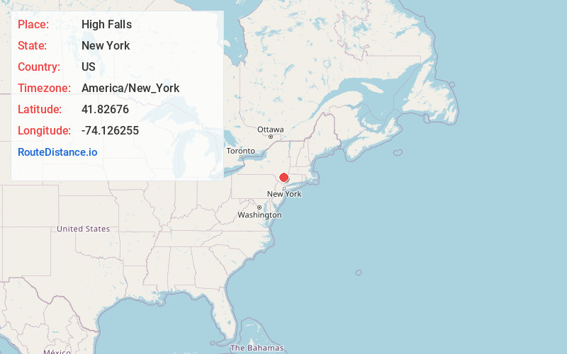
Full AddressHigh Falls, NY 12440
-
Coordinates41.8267596, -74.1262549
-
LocationHigh Falls , New York , US
-
TimezoneAmerica/New_York
-
Current Local Time7:18:45 PM America/New_YorkFriday, June 20, 2025
-
Page Views0
About High Falls
High Falls is a hamlet in Ulster County, New York, United States. The population was 700 at the 2020 census.
Portions of High Falls are located in the towns of Marbletown, Rosendale, and Rochester.


Nearby Places
Found 10 places within 50 miles

Stone Ridge
1.7 mi
2.7 km
Stone Ridge, NY
Get directions

Rosendale
2.6 mi
4.2 km
Rosendale, NY
Get directions

Tillson
3.0 mi
4.8 km
Tillson, NY
Get directions

New Paltz
5.8 mi
9.3 km
New Paltz, NY 12561
Get directions

Port Ewen
9.5 mi
15.3 km
Port Ewen, NY
Get directions

Kerhonkson
9.6 mi
15.4 km
Kerhonkson, NY 12446
Get directions

Kingston
9.6 mi
15.4 km
Kingston, NY 12401
Get directions
Clintondale
9.9 mi
15.9 km
Clintondale, NY
Get directions

Gardiner
10.2 mi
16.4 km
Gardiner, NY
Get directions

Hyde Park
10.4 mi
16.7 km
Hyde Park, NY 12538
Get directions
Location Links
Local Weather
Weather Information
Coming soon!
Location Map
Static map view of High Falls, New York
Browse Places by Distance
Places within specific distances from High Falls
Short Distances
Long Distances
Click any distance to see all places within that range from High Falls. Distances shown in miles (1 mile ≈ 1.61 kilometers).