Distance to High Gate, Missouri

Calculating Your Route
Just a moment while we process your request...
Location Information
-
Full AddressHigh Gate, MO 65559
-
Coordinates38.1578223, -91.6748825
-
LocationHigh Gate , Missouri , US
-
TimezoneAmerica/Chicago
-
Current Local Time7:34:11 AM America/ChicagoWednesday, May 21, 2025
-
Page Views0
About High Gate
High Gate is an unincorporated community in eastern Maries County, Missouri, United States. It is at the intersection of routes H and U approximately fourteen miles east of Vienna and 1.5 miles from the Maries-Gasconade county line.
Nearby Places
Found 10 places within 50 miles

Safe
5.0 mi
8.0 km
Safe, MO 65559
Get directions
Royal
5.6 mi
9.0 km
Royal, Dawson Township, MO 65559
Get directions
Sewell Ford
6.4 mi
10.3 km
Sewell Ford, Bourbois Township, MO 65014
Get directions
Paydown
8.6 mi
13.8 km
Paydown, MO 65013
Get directions
Jake Prairie
8.9 mi
14.3 km
Jake Prairie, Oak Hill Township, MO 65066
Get directions

Belle
9.2 mi
14.8 km
Belle, MO 65013
Get directions
Bend
9.7 mi
15.6 km
Bend, Jackson Township, MO 65013
Get directions
Davis Ford
10.1 mi
16.3 km
Davis Ford, Spring Creek Township, MO 65580
Get directions

Bland
10.2 mi
16.4 km
Bland, MO 65014
Get directions
Old Bland
11.2 mi
18.0 km
Old Bland, Clay Township, MO 65014
Get directions
Location Links
Local Weather
Weather Information
Coming soon!
Location Map
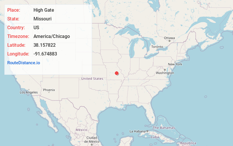
Static map view of High Gate, Missouri
Browse Places by Distance
Places within specific distances from High Gate
Short Distances
Long Distances
Click any distance to see all places within that range from High Gate. Distances shown in miles (1 mile ≈ 1.61 kilometers).