Distance to High Point, Iowa

Calculating Your Route
Just a moment while we process your request...
Location Information
-
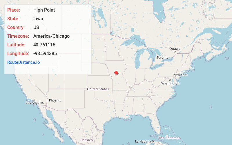
Full AddressHigh Point, IA 50103
-
Coordinates40.7611151, -93.5943848
-
LocationHigh Point , Iowa , US
-
TimezoneAmerica/Chicago
-
Current Local Time8:12:19 AM America/ChicagoMonday, June 23, 2025
-
Page Views0
About High Point
High Point is an unincorporated community in High Point Township, Decatur County, Iowa, United States. High Point is located along Iowa Highway 2, 8.2 miles east of Leon.
Nearby Places
Found 10 places within 50 miles

Woodland
4.5 mi
7.2 km
Woodland, IA 50147
Get directions

Garden Grove
4.6 mi
7.4 km
Garden Grove, IA 50103
Get directions

Le Roy
8.1 mi
13.0 km
Le Roy, IA
Get directions

Leon
8.2 mi
13.2 km
Leon, IA 50144
Get directions

Humeston
8.4 mi
13.5 km
Humeston, IA 50123
Get directions
Clio
11.5 mi
18.5 km
Clio, IA 50052
Get directions
Weldon
12.0 mi
19.3 km
Weldon, IA 50264
Get directions
Smyrna
12.5 mi
20.1 km
Smyrna, IA 50275
Get directions
Allerton
12.6 mi
20.3 km
Allerton, IA 50008
Get directions

Decatur
12.6 mi
20.3 km
Decatur, IA
Get directions
Location Links
Local Weather
Weather Information
Coming soon!
Location Map
Static map view of High Point, Iowa
Browse Places by Distance
Places within specific distances from High Point
Short Distances
Long Distances
Click any distance to see all places within that range from High Point. Distances shown in miles (1 mile ≈ 1.61 kilometers).