Distance to High Point, Georgia

Calculating Your Route
Just a moment while we process your request...
Location Information
-
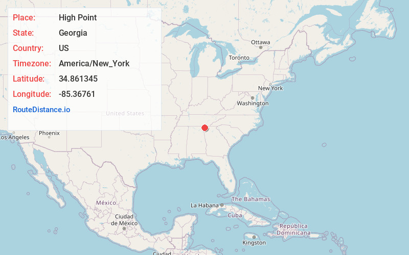
Full AddressHigh Point, GA 30707
-
Coordinates34.8613448, -85.3676102
-
LocationHigh Point , Georgia , US
-
TimezoneAmerica/New_York
-
Current Local Time1:47:43 PM America/New_YorkTuesday, July 1, 2025
-
Page Views0
About High Point
High Point is a CDP and unincorporated community in Walker County, in the U.S. state of Georgia.
Nearby Places
Found 10 places within 50 miles

Durham
3.7 mi
6.0 km
Durham, GA 30738
Get directions
Cooper Heights
3.9 mi
6.3 km
Cooper Heights, GA 30707
Get directions

Chickamauga
4.4 mi
7.1 km
Chickamauga, GA 30707
Get directions
West Brow
5.0 mi
8.0 km
West Brow, GA
Get directions
New England
7.2 mi
11.6 km
New England, GA
Get directions

Wildwood
7.5 mi
12.1 km
Wildwood, GA 30757
Get directions

Rock Spring
7.6 mi
12.2 km
Rock Spring, GA 30739
Get directions

Lookout Mountain
8.1 mi
13.0 km
Lookout Mountain, GA 30750
Get directions

Trenton
8.1 mi
13.0 km
Trenton, GA 30752
Get directions

Fort Oglethorpe
8.7 mi
14.0 km
Fort Oglethorpe, GA
Get directions
Location Links
Local Weather
Weather Information
Coming soon!
Location Map
Static map view of High Point, Georgia
Browse Places by Distance
Places within specific distances from High Point
Short Distances
Long Distances
Click any distance to see all places within that range from High Point. Distances shown in miles (1 mile ≈ 1.61 kilometers).