Distance to High Shoals, North Carolina

Calculating Your Route
Just a moment while we process your request...
Location Information
-
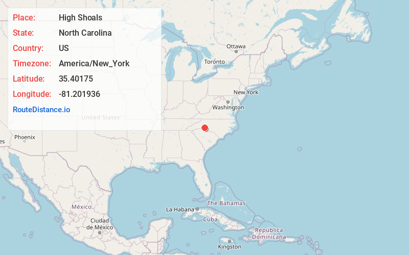
Full AddressHigh Shoals, NC
-
Coordinates35.4017501, -81.2019356
-
LocationHigh Shoals , North Carolina , US
-
TimezoneAmerica/New_York
-
Current Local Time5:40:11 PM America/New_YorkTuesday, June 17, 2025
-
Page Views0
About High Shoals
High Shoals is a city in Gaston County, North Carolina, United States, named for the high rocky shoal across the Catawba River. The population was 700 at the 2010 census.

Nearby Places
Found 10 places within 50 miles

Iron Station
3.8 mi
6.1 km
Iron Station, NC 28080
Get directions

Lincolnton
5.8 mi
9.3 km
Lincolnton, NC 28092
Get directions

Dallas
6.1 mi
9.8 km
Dallas, NC
Get directions

Stanley
7.1 mi
11.4 km
Stanley, NC
Get directions
Springdale
8.4 mi
13.5 km
Springdale, NC 28054
Get directions
Ranlo
8.9 mi
14.3 km
Ranlo, NC
Get directions

Bessemer City
9.3 mi
15.0 km
Bessemer City, NC 28016
Get directions

Gastonia
9.7 mi
15.6 km
Gastonia, NC
Get directions

Cherryville
10.1 mi
16.3 km
Cherryville, NC 28021
Get directions
Lowesville
10.8 mi
17.4 km
Lowesville, NC
Get directions
Location Links
Local Weather
Weather Information
Coming soon!
Location Map
Static map view of High Shoals, North Carolina
Browse Places by Distance
Places within specific distances from High Shoals
Short Distances
Long Distances
Click any distance to see all places within that range from High Shoals. Distances shown in miles (1 mile ≈ 1.61 kilometers).