Distance to Highbank, Texas

Calculating Your Route
Just a moment while we process your request...
Location Information
-
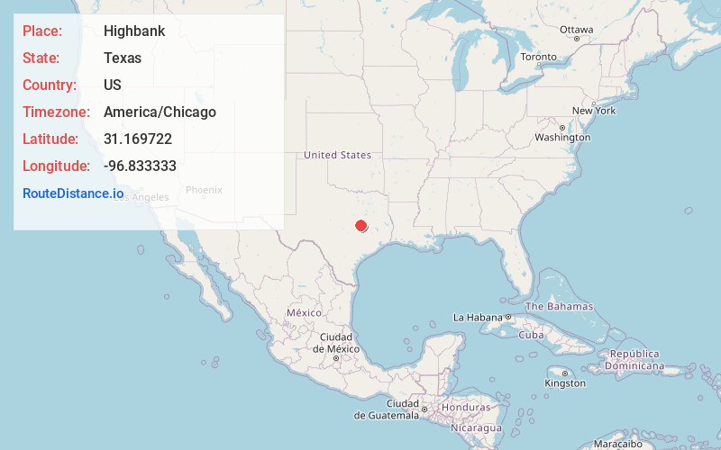
Full AddressHighbank, TX 76680
-
Coordinates31.169722, -96.833333
-
LocationHighbank , Texas , US
-
TimezoneAmerica/Chicago
-
Current Local Time5:30:57 AM America/ChicagoSaturday, June 7, 2025
-
Page Views0
About Highbank
Highbank is an unincorporated community in southern Falls County, Texas, United States. It lies along Farm to Market Road 413, just east of the Brazos River.
Nearby Places
Found 10 places within 50 miles

Eloise
3.5 mi
5.6 km
Eloise, TX 76629
Get directions
Cedar Springs
5.1 mi
8.2 km
Cedar Springs, TX 76570
Get directions
Wilderville
5.4 mi
8.7 km
Wilderville, TX 76570
Get directions
Baileyville
8.1 mi
13.0 km
Baileyville, TX 76629
Get directions

Bremond
9.3 mi
15.0 km
Bremond, TX 76629
Get directions
Briary
9.3 mi
15.0 km
Briary, TX 76570
Get directions

Marlin
10.2 mi
16.4 km
Marlin, TX 76661
Get directions
Travis
10.3 mi
16.6 km
Travis, TX 76570
Get directions
Salter
10.7 mi
17.2 km
Salter, TX 77837
Get directions

Rosebud
10.9 mi
17.5 km
Rosebud, TX 76570
Get directions
Location Links
Local Weather
Weather Information
Coming soon!
Location Map
Static map view of Highbank, Texas
Browse Places by Distance
Places within specific distances from Highbank
Short Distances
Long Distances
Click any distance to see all places within that range from Highbank. Distances shown in miles (1 mile ≈ 1.61 kilometers).