Distance to Highfalls, Alabama

Calculating Your Route
Just a moment while we process your request...
Location Information
-
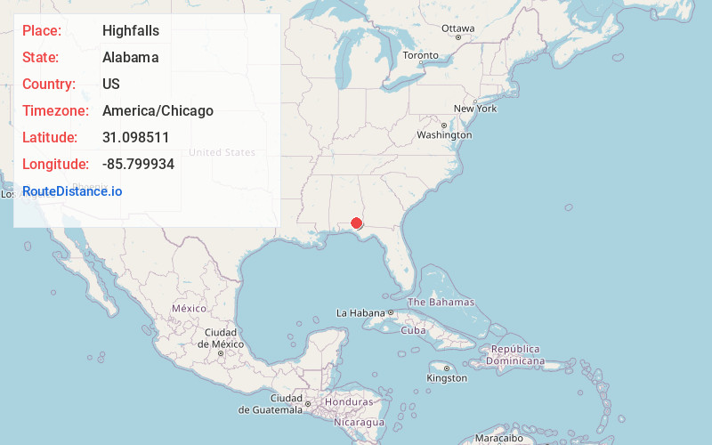
Full AddressHighfalls, AL 36344
-
Coordinates31.0985107, -85.7999344
-
LocationAlabama , US
-
TimezoneAmerica/Chicago
-
Current Local Time3:58:19 PM America/ChicagoTuesday, June 3, 2025
-
Page Views0
Nearby Places
Found 10 places within 50 miles

Vanlandingham Mill
4.5 mi
7.2 km
Vanlandingham Mill, AL 36314
Get directions
Eunola
4.9 mi
7.9 km
Eunola, AL 36340
Get directions
Bellwood
5.2 mi
8.4 km
Bellwood, AL 36313
Get directions
Thurston
5.9 mi
9.5 km
Thurston, AL 36314
Get directions

Geneva
5.9 mi
9.5 km
Geneva, AL 36340
Get directions

Hartford
6.1 mi
9.8 km
Hartford, AL 36344
Get directions
Scranton
7.0 mi
11.3 km
Scranton, AL 36316
Get directions
Black
7.0 mi
11.3 km
Black, AL 36314
Get directions

Chancellor
7.3 mi
11.7 km
Chancellor, AL 36316
Get directions
Dundee
7.8 mi
12.6 km
Dundee, Hartford, AL 36344
Get directions
Location Links
Local Weather
Weather Information
Coming soon!
Location Map
Static map view of Highfalls, Alabama
Browse Places by Distance
Places within specific distances from Highfalls
Short Distances
Long Distances
Click any distance to see all places within that range from Highfalls. Distances shown in miles (1 mile ≈ 1.61 kilometers).