Distance to Eunola, Alabama

Calculating Your Route
Just a moment while we process your request...
Location Information
-
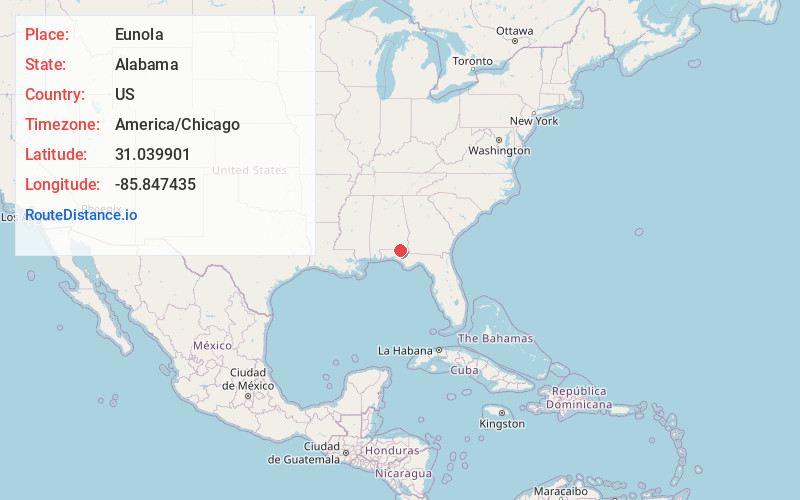
Full AddressEunola, AL 36340
-
Coordinates31.0399013, -85.847435
-
LocationEunola , Alabama , US
-
TimezoneAmerica/Chicago
-
Current Local Time12:37:28 AM America/ChicagoFriday, June 20, 2025
-
Page Views0
About Eunola
Eunola is a census-designated place and former town in Geneva County, Alabama, United States. It is part of the Dothan, Alabama Metropolitan Statistical Area. At the 2020 census, the population was 284. The town was disincorporated in 2007.
Nearby Places
Found 10 places within 50 miles

Geneva
1.1 mi
1.8 km
Geneva, AL 36340
Get directions

Black
6.5 mi
10.5 km
Black, AL 36314
Get directions

Coffee Springs
9.4 mi
15.1 km
Coffee Springs, AL 36318
Get directions

Hartford
9.9 mi
15.9 km
Hartford, AL 36344
Get directions

Esto
12.5 mi
20.1 km
Esto, FL 32425
Get directions

Samson
12.8 mi
20.6 km
Samson, AL 36477
Get directions
Noma
14.1 mi
22.7 km
Noma, FL 32425
Get directions
Clayhatchee
15.4 mi
24.8 km
Clayhatchee, AL 36322
Get directions

Slocomb
15.7 mi
25.3 km
Slocomb, AL 36375
Get directions
Level Plains
18.4 mi
29.6 km
Level Plains, AL
Get directions
Location Links
Local Weather
Weather Information
Coming soon!
Location Map
Static map view of Eunola, Alabama
Browse Places by Distance
Places within specific distances from Eunola
Short Distances
Long Distances
Click any distance to see all places within that range from Eunola. Distances shown in miles (1 mile ≈ 1.61 kilometers).