Distance to Coffee Springs, Alabama

Calculating Your Route
Just a moment while we process your request...
Location Information
-
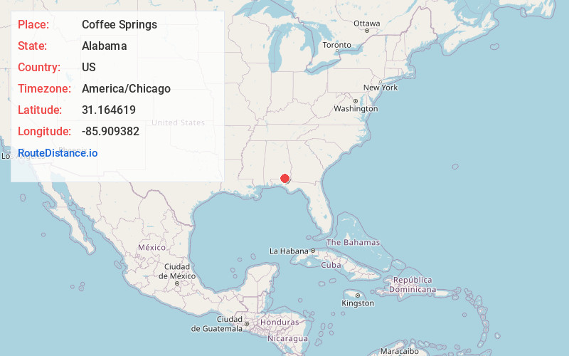
Full AddressCoffee Springs, AL 36318
-
Coordinates31.1646193, -85.9093821
-
LocationCoffee Springs , Alabama , US
-
TimezoneAmerica/Chicago
-
Current Local Time4:29:02 AM America/ChicagoSunday, June 15, 2025
-
Page Views0
About Coffee Springs
Coffee Springs is a town in Geneva County, Alabama, United States. It was incorporated in 1900, and it is considered to be a part of the Dothan, Alabama Metropolitan Statistical Area. At the 2010 census the population was 228, down from 251.

Nearby Places
Found 10 places within 50 miles

Samson
8.8 mi
14.2 km
Samson, AL 36477
Get directions

Geneva
9.5 mi
15.3 km
Geneva, AL 36340
Get directions

Enterprise
10.9 mi
17.5 km
Enterprise, AL 36330
Get directions

Clayhatchee
12.1 mi
19.5 km
Clayhatchee, AL 36322
Get directions
Level Plains
12.1 mi
19.5 km
Level Plains, AL
Get directions

Hartford
13.3 mi
21.4 km
Hartford, AL 36344
Get directions
Black
14.5 mi
23.3 km
Black, AL 36314
Get directions

New Brockton
15.3 mi
24.6 km
New Brockton, AL 36351
Get directions

Daleville
15.4 mi
24.8 km
Daleville, AL
Get directions

Kinston
15.9 mi
25.6 km
Kinston, AL 36453
Get directions
Location Links
Local Weather
Weather Information
Coming soon!
Location Map
Static map view of Coffee Springs, Alabama
Browse Places by Distance
Places within specific distances from Coffee Springs
Short Distances
Long Distances
Click any distance to see all places within that range from Coffee Springs. Distances shown in miles (1 mile ≈ 1.61 kilometers).