Distance to Highlands, California

Calculating Your Route
Just a moment while we process your request...
Location Information
-
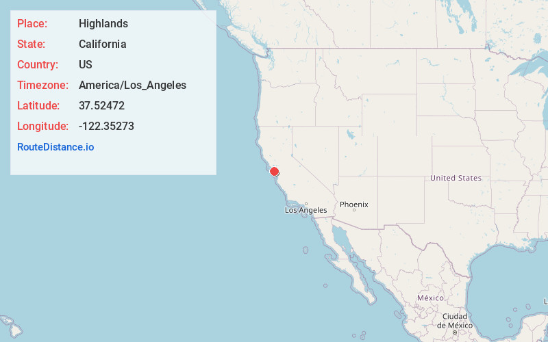
Full AddressHighlands, CA
-
Coordinates37.5247197, -122.3527295
-
LocationHighlands , California , US
-
TimezoneAmerica/Los_Angeles
-
Current Local Time4:35:59 AM America/Los_AngelesSunday, June 29, 2025
-
Page Views0
About Highlands
The Highlands is a neighborhood and unincorporated district in San Mateo County, California, United States. It is bordered by Interstate 280 to the west, State Route 92 to the south, Polhemus Road to the east, and Crystal Springs Road, which parallels San Mateo Creek, to the north.
Nearby Places
Found 10 places within 50 miles

San Mateo
3.0 mi
4.8 km
San Mateo, CA
Get directions

Burlingame
3.7 mi
6.0 km
Burlingame, CA
Get directions

Hillsborough
3.7 mi
6.0 km
Hillsborough, CA 94010
Get directions

Belmont
4.2 mi
6.8 km
Belmont, CA
Get directions

Foster City
5.0 mi
8.0 km
Foster City, CA
Get directions

San Carlos
5.2 mi
8.4 km
San Carlos, CA
Get directions

Millbrae
5.4 mi
8.7 km
Millbrae, CA
Get directions

Emerald Hills
6.2 mi
10.0 km
Emerald Hills, CA 94062
Get directions

El Granada
6.6 mi
10.6 km
El Granada, CA
Get directions

Redwood City
7.4 mi
11.9 km
Redwood City, CA
Get directions
Location Links
Local Weather
Weather Information
Coming soon!
Location Map
Static map view of Highlands, California
Browse Places by Distance
Places within specific distances from Highlands
Short Distances
Long Distances
Click any distance to see all places within that range from Highlands. Distances shown in miles (1 mile ≈ 1.61 kilometers).