Distance to San Carlos, California

Calculating Your Route
Just a moment while we process your request...
Location Information
-
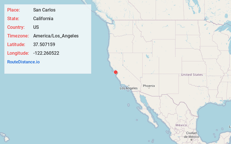
Full AddressSan Carlos, CA
-
Coordinates37.5071591, -122.2605222
-
LocationSan Carlos , California , US
-
TimezoneAmerica/Los_Angeles
-
Current Local Time4:34:27 PM America/Los_AngelesSaturday, June 28, 2025
-
Website
-
Page Views0
About San Carlos
San Carlos is a city in San Mateo County, California, United States. The population is 30,722 per the 2020 census.


Nearby Places
Found 10 places within 50 miles

Redwood City
2.4 mi
3.9 km
Redwood City, CA
Get directions

Foster City
3.6 mi
5.8 km
Foster City, CA
Get directions

San Mateo
5.3 mi
8.5 km
San Mateo, CA
Get directions

Menlo Park
5.7 mi
9.2 km
Menlo Park, CA
Get directions

Burlingame
6.8 mi
10.9 km
Burlingame, CA
Get directions

Palo Alto
7.9 mi
12.7 km
Palo Alto, CA
Get directions

Los Altos
11.6 mi
18.7 km
Los Altos, CA
Get directions

San Bruno
11.9 mi
19.2 km
San Bruno, CA
Get directions

Newark
12.3 mi
19.8 km
Newark, CA 94560
Get directions

Mountain View
12.7 mi
20.4 km
Mountain View, CA
Get directions
Location Links
Local Weather
Weather Information
Coming soon!
Location Map
Static map view of San Carlos, California
Browse Places by Distance
Places within specific distances from San Carlos
Short Distances
Long Distances
Click any distance to see all places within that range from San Carlos. Distances shown in miles (1 mile ≈ 1.61 kilometers).