Distance to Hight, Mississippi

Calculating Your Route
Just a moment while we process your request...
Location Information
-
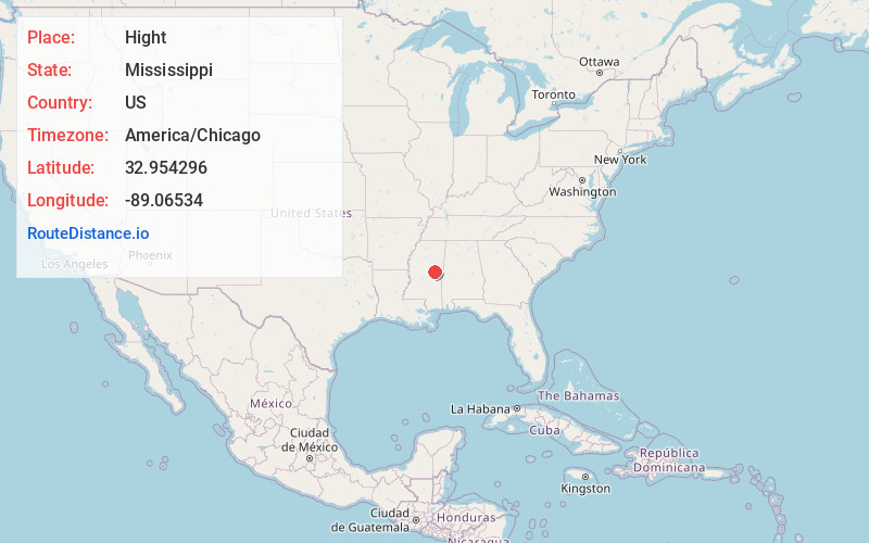
Full AddressHight, MS 39346
-
Coordinates32.9542959, -89.0653397
-
LocationMississippi , US
-
TimezoneAmerica/Chicago
-
Current Local Time1:25:41 AM America/ChicagoTuesday, July 1, 2025
-
Page Views0
Nearby Places
Found 10 places within 50 miles

Noxapater
2.6 mi
4.2 km
Noxapater, MS 39346
Get directions

Burnside
7.3 mi
11.7 km
Burnside, MS 39350
Get directions
Plattsburg
7.4 mi
11.9 km
Plattsburg, MS 39346
Get directions
Estes
7.4 mi
11.9 km
Estes, MS 39339
Get directions

Arlington
8.4 mi
13.5 km
Arlington, MS 39350
Get directions
Coy
9.4 mi
15.1 km
Coy, MS 39354
Get directions
Prince Chapel
9.8 mi
15.8 km
Prince Chapel, MS 39354
Get directions
Handle
11.1 mi
17.9 km
Handle, MS 39354
Get directions
Sandtown
11.6 mi
18.7 km
Sandtown, MS 39350
Get directions

Louisville
11.7 mi
18.8 km
Louisville, MS 39339
Get directions
Location Links
Local Weather
Weather Information
Coming soon!
Location Map
Static map view of Hight, Mississippi
Browse Places by Distance
Places within specific distances from Hight
Short Distances
Long Distances
Click any distance to see all places within that range from Hight. Distances shown in miles (1 mile ≈ 1.61 kilometers).