Distance to and from Hightsville, North Carolina
Hightsville, NC
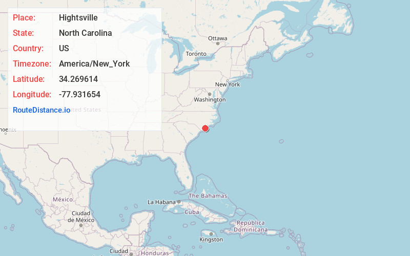
Hightsville
North Carolina
US
America/New_York
Location Information
-
Full AddressHightsville, NC
-
Coordinates34.2696139, -77.9316542
-
LocationHightsville , North Carolina , US
-
TimezoneAmerica/New_York
-
Current Local Time1:28:50 PM America/New_YorkSaturday, May 3, 2025
-
Page Views0
Directions to Nearest Cities
About Hightsville
Hightsville is a census-designated place in New Hanover County, North Carolina, United States. The population was 739 at the 2010 census. It is part of the Wilmington Metropolitan Statistical Area.
Nearby Places
Found 10 places within 50 miles

Wrightsboro
1.4 mi
2.3 km
Wrightsboro, NC
Get directions

Navassa
3.7 mi
6.0 km
Navassa, NC
Get directions

Kings Grant
3.8 mi
6.1 km
Kings Grant, NC
Get directions
Belville
4.4 mi
7.1 km
Belville, NC 28451
Get directions
Skippers Corner
4.5 mi
7.2 km
Skippers Corner, NC 28429
Get directions

Wilmington
4.8 mi
7.7 km
Wilmington, NC
Get directions

Murrayville
5.2 mi
8.4 km
Murrayville, NC
Get directions

Castle Hayne
6.2 mi
10.0 km
Castle Hayne, NC
Get directions
Ogden
6.5 mi
10.5 km
Ogden, NC
Get directions

Leland
6.5 mi
10.5 km
Leland, NC
Get directions
Wrightsboro
1.4 mi
2.3 km
Wrightsboro, NC
Navassa
3.7 mi
6.0 km
Navassa, NC
Kings Grant
3.8 mi
6.1 km
Kings Grant, NC
Belville
4.4 mi
7.1 km
Belville, NC 28451
Skippers Corner
4.5 mi
7.2 km
Skippers Corner, NC 28429
Wilmington
4.8 mi
7.7 km
Wilmington, NC
Murrayville
5.2 mi
8.4 km
Murrayville, NC
Castle Hayne
6.2 mi
10.0 km
Castle Hayne, NC
Ogden
6.5 mi
10.5 km
Ogden, NC
Leland
6.5 mi
10.5 km
Leland, NC
Location Links
Local Weather
Weather Information
Coming soon!
Location Map
Static map view of Hightsville, North Carolina
Browse Places by Distance
Places within specific distances from Hightsville
Short Distances
Long Distances
Click any distance to see all places within that range from Hightsville. Distances shown in miles (1 mile ≈ 1.61 kilometers).