Distance to Hildreth, California

Calculating Your Route
Just a moment while we process your request...
Location Information
-
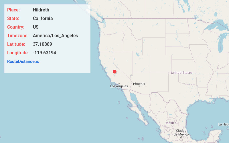
Full AddressHildreth, CA 93626
-
Coordinates37.10889, -119.63194
-
LocationHildreth , California , US
-
TimezoneAmerica/Los_Angeles
-
Current Local Time8:11:20 PM America/Los_AngelesThursday, June 12, 2025
-
Page Views0
About Hildreth
Hildreth is an unincorporated community in Madera County, California. It is located 3.5 miles east-southeast of O'Neals, at an elevation of 1247 feet.
In the late 1870s, Tom Hildreth opened a store at the site, thereby beginning the town named for him. A post office operated at Hildreth from 1886 to 1896.
Nearby Places
Found 10 places within 50 miles

Indian Springs
6.7 mi
10.8 km
Indian Springs, CA 93626
Get directions

Millerton Lake
7.9 mi
12.7 km
Millerton Lake, California 93626
Get directions

Prather
8.2 mi
13.2 km
Prather, CA 93651
Get directions

Auberry
8.3 mi
13.4 km
Auberry, CA
Get directions

Friant
9.5 mi
15.3 km
Friant, CA 93626
Get directions

Yosemite Lakes
9.6 mi
15.4 km
Yosemite Lakes, CA
Get directions

North Fork
10.7 mi
17.2 km
North Fork, CA
Get directions

Coarsegold
11.2 mi
18.0 km
Coarsegold, CA 93614
Get directions

Central California
11.9 mi
19.2 km
Central California, CA
Get directions

Tollhouse
14.3 mi
23.0 km
Tollhouse, CA 93667
Get directions
Location Links
Local Weather
Weather Information
Coming soon!
Location Map
Static map view of Hildreth, California
Browse Places by Distance
Places within specific distances from Hildreth
Short Distances
Long Distances
Click any distance to see all places within that range from Hildreth. Distances shown in miles (1 mile ≈ 1.61 kilometers).