Distance to Hill Top, Utah

Calculating Your Route
Just a moment while we process your request...
Location Information
-
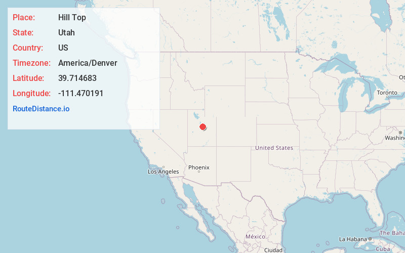
Full AddressHill Top, UT 84629
-
Coordinates39.7146832, -111.4701914
-
LocationHill Top , Utah , US
-
TimezoneAmerica/Denver
-
Current Local Time3:54:56 AM America/DenverFriday, June 20, 2025
-
Page Views0
Nearby Places
Found 10 places within 50 miles

Indianola
6.2 mi
10.0 km
Indianola, UT 84629
Get directions

Fairview
6.3 mi
10.1 km
Fairview, UT
Get directions

Fountain Green
10.5 mi
16.9 km
Fountain Green, UT 84632
Get directions

Mt Pleasant
11.6 mi
18.7 km
Mt Pleasant, UT 84647
Get directions

Jerusalem
14.4 mi
23.2 km
Jerusalem, UT 84632
Get directions

Moroni
14.6 mi
23.5 km
Moroni, UT 84646
Get directions

Birdseye
15.1 mi
24.3 km
Birdseye, UT 84660
Get directions

Spring City
16.1 mi
25.9 km
Spring City, UT 84662
Get directions

Scofield
16.5 mi
26.6 km
Scofield, UT 84526
Get directions

Clear Creek
17.6 mi
28.3 km
Clear Creek, UT 84526
Get directions
Location Links
Local Weather
Weather Information
Coming soon!
Location Map
Static map view of Hill Top, Utah
Browse Places by Distance
Places within specific distances from Hill Top
Short Distances
Long Distances
Click any distance to see all places within that range from Hill Top. Distances shown in miles (1 mile ≈ 1.61 kilometers).