Distance to Hillsboro, Texas

Calculating Your Route
Just a moment while we process your request...
Location Information
-
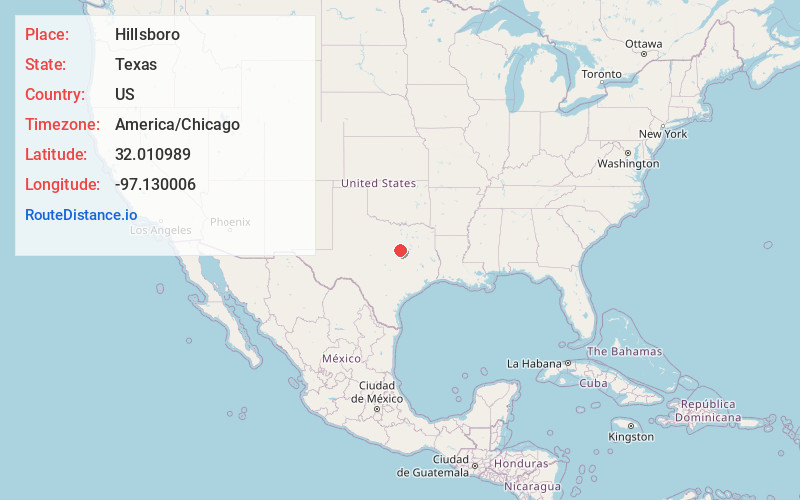
Full AddressHillsboro, TX 76645
-
Coordinates32.0109886, -97.1300061
-
LocationHillsboro , Texas , US
-
TimezoneAmerica/Chicago
-
Current Local Time9:03:58 AM America/ChicagoMonday, June 2, 2025
-
Website
-
Page Views0
About Hillsboro
Hillsboro is a city in and the county seat of Hill County, Texas, United States. It is located between Dallas, Fort Worth and Waco, directly on Interstate 35 in North Central Texas. Hillsboro draws trade from throughout the county, and from Interstate 35 travelers between Dallas, Fort Worth, and Waco.


Nearby Places
Found 10 places within 50 miles

Cleburne
27.7 mi
44.6 km
Cleburne, TX
Get directions

Bellmead
28.6 mi
46.0 km
Bellmead, TX 76705
Get directions

Waxahachie
30.7 mi
49.4 km
Waxahachie, TX
Get directions

Waco
31.3 mi
50.4 km
Waco, TX
Get directions

Midlothian
32.8 mi
52.8 km
Midlothian, TX
Get directions

Woodway
35.2 mi
56.6 km
Woodway, TX 76712
Get directions

Ennis
36.8 mi
59.2 km
Ennis, TX
Get directions

Robinson
37.6 mi
60.5 km
Robinson, TX
Get directions

Hewitt
38.1 mi
61.3 km
Hewitt, TX
Get directions

Mansfield
38.2 mi
61.5 km
Mansfield, TX
Get directions
Location Links
Local Weather
Weather Information
Coming soon!
Location Map
Static map view of Hillsboro, Texas
Browse Places by Distance
Places within specific distances from Hillsboro
Short Distances
Long Distances
Click any distance to see all places within that range from Hillsboro. Distances shown in miles (1 mile ≈ 1.61 kilometers).