Distance to Hillsboro, Georgia

Calculating Your Route
Just a moment while we process your request...
Location Information
-
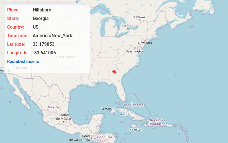
Full AddressHillsboro, GA 31038
-
Coordinates33.1798525, -83.6410056
-
LocationHillsboro , Georgia , US
-
TimezoneAmerica/New_York
-
Current Local Time5:25:52 AM America/New_YorkMonday, June 16, 2025
-
Page Views0
About Hillsboro
Hillsboro is an unincorporated community in Jasper County, Georgia, United States, established around 1795.


Nearby Places
Found 10 places within 50 miles

Adgateville
3.5 mi
5.6 km
Adgateville, GA 31038
Get directions
Mcelheneys Crossroads
8.2 mi
13.2 km
Mcelheneys Crossroads, GA 31064
Get directions
Minneta
8.4 mi
13.5 km
Minneta, GA 31064
Get directions
Stanfordville
8.6 mi
13.8 km
Stanfordville, GA 31024
Get directions

Monticello
9.0 mi
14.5 km
Monticello, GA
Get directions
Smithboro
9.3 mi
15.0 km
Smithboro, GA 31064
Get directions
East Juliette
10.0 mi
16.1 km
East Juliette, GA 31046
Get directions

Juliette
10.5 mi
16.9 km
Juliette, GA 31046
Get directions
Percale
10.9 mi
17.5 km
Percale, GA 31046
Get directions
Berner
11.0 mi
17.7 km
Berner, GA 31029
Get directions
Location Links
Local Weather
Weather Information
Coming soon!
Location Map
Static map view of Hillsboro, Georgia
Browse Places by Distance
Places within specific distances from Hillsboro
Short Distances
Long Distances
Click any distance to see all places within that range from Hillsboro. Distances shown in miles (1 mile ≈ 1.61 kilometers).