Distance to Stanfordville, Georgia

Calculating Your Route
Just a moment while we process your request...
Location Information
-
Full AddressStanfordville, GA 31024
-
Coordinates33.2231884, -83.5007217
-
LocationGeorgia , US
-
TimezoneAmerica/New_York
-
Current Local Time8:22:55 PM America/New_YorkWednesday, June 18, 2025
-
Page Views0
Nearby Places
Found 10 places within 50 miles

Note
3.7 mi
6.0 km
Note, GA 31024
Get directions
Willard
5.9 mi
9.5 km
Willard, GA 31024
Get directions
Smithboro
7.4 mi
11.9 km
Smithboro, GA 31064
Get directions

Eatonton
9.7 mi
15.6 km
Eatonton, GA 31024
Get directions
Adgateville
9.8 mi
15.8 km
Adgateville, GA 31038
Get directions
Imperial
10.0 mi
16.1 km
Imperial, Eatonton, GA 31024
Get directions

Monticello
12.0 mi
19.3 km
Monticello, GA
Get directions
Machen
12.8 mi
20.6 km
Machen, GA 31064
Get directions
Minneta
12.9 mi
20.8 km
Minneta, GA 31064
Get directions

Shady Dale
13.3 mi
21.4 km
Shady Dale, GA
Get directions
Location Links
Local Weather
Weather Information
Coming soon!
Location Map
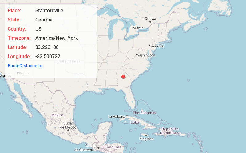
Static map view of Stanfordville, Georgia
Browse Places by Distance
Places within specific distances from Stanfordville
Short Distances
Long Distances
Click any distance to see all places within that range from Stanfordville. Distances shown in miles (1 mile ≈ 1.61 kilometers).