Distance to Hiram, Missouri

Calculating Your Route
Just a moment while we process your request...
Location Information
-
Full AddressHiram, MO 63951
-
Coordinates37.1789407, -90.3148329
-
LocationHiram , Missouri , US
-
TimezoneAmerica/Chicago
-
Current Local Time6:46:58 AM America/ChicagoMonday, June 23, 2025
-
Page Views0
About Hiram
Hiram is an unincorporated community in eastern Wayne County, Missouri, United States. It is located on Missouri Route C, between Clubb to the northwest and Lowndes to the southeast, approximately twenty miles southwest of Marble Hill.
Nearby Places
Found 10 places within 50 miles

Burbank
3.8 mi
6.1 km
Burbank, St Francois Township, MO 63964
Get directions
Missionary Acres
6.1 mi
9.8 km
Missionary Acres, St Francois Township, MO 63964
Get directions

Greenville
8.3 mi
13.4 km
Greenville, MO 63944
Get directions
Bounds
8.4 mi
13.5 km
Bounds, St Francois Township, MO 63964
Get directions
Cascade
8.7 mi
14.0 km
Cascade, MO 63655
Get directions
Holliday Landing
11.5 mi
18.5 km
Holliday Landing, Black River Township, MO 63944
Get directions
Zalma
13.0 mi
20.9 km
Zalma, MO 63787
Get directions
Varsh Ford
15.5 mi
24.9 km
Varsh Ford, MO 63620
Get directions
Sank
16.6 mi
26.7 km
Sank, Liberty Township, MO 63730
Get directions

Wappapello
17.0 mi
27.4 km
Wappapello, MO
Get directions
Location Links
Local Weather
Weather Information
Coming soon!
Location Map
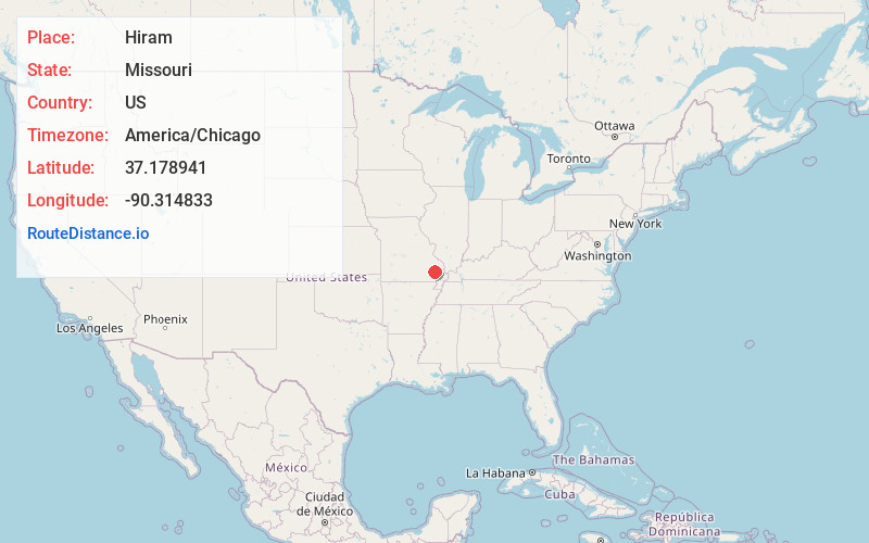
Static map view of Hiram, Missouri
Browse Places by Distance
Places within specific distances from Hiram
Short Distances
Long Distances
Click any distance to see all places within that range from Hiram. Distances shown in miles (1 mile ≈ 1.61 kilometers).