Distance to Wappapello, Missouri

Calculating Your Route
Just a moment while we process your request...
Location Information
-
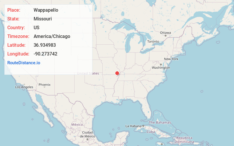
Full AddressWappapello, MO
-
Coordinates36.934983, -90.2737423
-
LocationWappapello , Missouri , US
-
TimezoneAmerica/Chicago
-
Current Local Time8:15:41 PM America/ChicagoWednesday, June 18, 2025
-
Page Views0
About Wappapello
Wappapello is an unincorporated community in southeastern Wayne County, Missouri, United States. It is located approximately thirteen miles northeast of Poplar Bluff, next to Lake Wappapello.
Wappapello was laid out in 1884 when the railroad was extended to that point.


Nearby Places
Found 10 places within 50 miles

Puxico
6.4 mi
10.3 km
Puxico, MO 63960
Get directions

Wilby
10.2 mi
16.4 km
Wilby, MO 63967
Get directions
Holliday Landing
10.8 mi
17.4 km
Holliday Landing, Black River Township, MO 63944
Get directions
Fisk
11.2 mi
18.0 km
Fisk, MO 63940
Get directions

Ash Hill
11.2 mi
18.0 km
Ash Hill, MO 63940
Get directions
Barron
11.3 mi
18.2 km
Barron, Ash Hill Township, MO 63940
Get directions
Kinder
12.2 mi
19.6 km
Kinder, New Lisbon Township, MO 63960
Get directions

Poplar Bluff
14.0 mi
22.5 km
Poplar Bluff, MO 63901
Get directions

Dudley
14.2 mi
22.9 km
Dudley, MO 63936
Get directions
Cedar Valley
15.3 mi
24.6 km
Cedar Valley, Poplar Bluff, MO 63901
Get directions
Location Links
Local Weather
Weather Information
Coming soon!
Location Map
Static map view of Wappapello, Missouri
Browse Places by Distance
Places within specific distances from Wappapello
Short Distances
Long Distances
Click any distance to see all places within that range from Wappapello. Distances shown in miles (1 mile ≈ 1.61 kilometers).