Distance to Hobbs, Texas

Calculating Your Route
Just a moment while we process your request...
Location Information
-
Full AddressHobbs, TX 79546
-
Coordinates32.7814958, -100.5917781
-
LocationTexas , US
-
TimezoneAmerica/Chicago
-
Current Local Time1:20:52 AM America/ChicagoTuesday, June 3, 2025
-
Page Views1
About Hobbs
Hobbs is an unincorporated community in west Fisher County, Texas, United States. It is located at the intersection of Farm to Market Roads 611 and 1614, about 20 mi east of Snyder. It lies within the physiographic region known as the Rolling Plains in the valley of the Clear Fork Brazos River.
Nearby Places
Found 10 places within 50 miles

Rotan
8.8 mi
14.2 km
Rotan, TX 79546
Get directions

Roby
12.7 mi
20.4 km
Roby, TX 79543
Get directions
Hermleigh
14.0 mi
22.5 km
Hermleigh, TX 79526
Get directions
Busby
14.8 mi
23.8 km
Busby, TX 79543
Get directions
Bernecker
15.3 mi
24.6 km
Bernecker, TX 79545
Get directions
Longworth
16.9 mi
27.2 km
Longworth, TX 79556
Get directions
Royston
17.2 mi
27.7 km
Royston, TX 79534
Get directions
Wastella
19.0 mi
30.6 km
Wastella, TX 79545
Get directions

Snyder
19.4 mi
31.2 km
Snyder, TX 79549
Get directions

Sylvester
20.1 mi
32.3 km
Sylvester, TX 79560
Get directions
Location Links
Local Weather
Weather Information
Coming soon!
Location Map
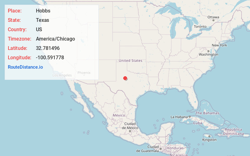
Static map view of Hobbs, Texas
Browse Places by Distance
Places within specific distances from Hobbs
Short Distances
Long Distances
Click any distance to see all places within that range from Hobbs. Distances shown in miles (1 mile ≈ 1.61 kilometers).