Distance to Hobbtown, Arkansas

Calculating Your Route
Just a moment while we process your request...
Location Information
-
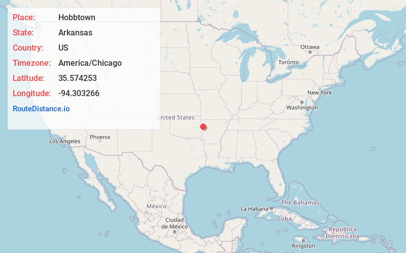
Full AddressHobbtown, AR 72952
-
Coordinates35.5742527, -94.3032661
-
LocationArkansas , US
-
TimezoneAmerica/Chicago
-
Current Local Time5:44:31 AM America/ChicagoThursday, June 19, 2025
-
Page Views0
Nearby Places
Found 10 places within 50 miles

Cedarville
3.6 mi
5.8 km
Cedarville, AR
Get directions

Rudy
3.8 mi
6.1 km
Rudy, AR
Get directions

Deans Market
5.5 mi
8.9 km
Deans Market, AR 72921
Get directions
Meadows
6.0 mi
9.7 km
Meadows, AR 72921
Get directions
Rena
6.8 mi
10.9 km
Rena, AR 72956
Get directions

Alma
7.1 mi
11.4 km
Alma, AR 72921
Get directions

Natural Dam
7.3 mi
11.7 km
Natural Dam, AR 72948
Get directions
Cain
7.3 mi
11.7 km
Cain, AR 72946
Get directions
Uniontown
7.9 mi
12.7 km
Uniontown, AR 72955
Get directions
Smeltzer
8.1 mi
13.0 km
Smeltzer, AR 72956
Get directions
Location Links
Local Weather
Weather Information
Coming soon!
Location Map
Static map view of Hobbtown, Arkansas
Browse Places by Distance
Places within specific distances from Hobbtown
Short Distances
Long Distances
Click any distance to see all places within that range from Hobbtown. Distances shown in miles (1 mile ≈ 1.61 kilometers).