Distance to and from Hoboken, New Jersey
Hoboken, NJ
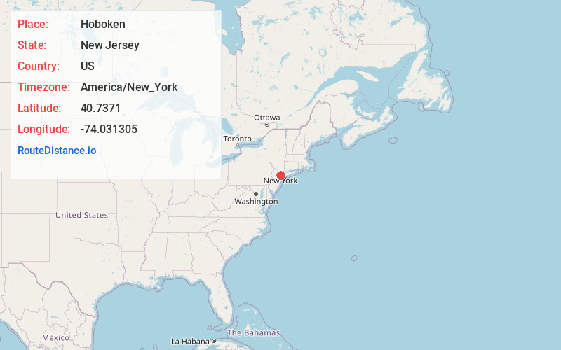
Hoboken
New Jersey
US
America/New_York
Location Information
-
Full AddressHoboken, NJ
-
Coordinates40.7371004, -74.0313047
-
LocationHoboken , New Jersey , US
-
TimezoneAmerica/New_York
-
Current Local Time7:03:44 PM America/New_YorkSaturday, May 3, 2025
-
Website
-
Page Views0
Directions to Nearest Cities
About Hoboken
Hoboken is a New Jersey city on the Hudson River. Its former industrial port now features parks such as Pier A Park, with Manhattan skyline views. The Hudson River Waterfront Walkway links several green spaces. Global eateries, bistros and bars cluster on Washington Street and riverside Frank Sinatra Drive, named after the locally born singer. The Hoboken Historical Museum has local art and history exhibits.


Nearby Places
Found 10 places within 50 miles

Jersey City
1.4 mi
2.3 km
Jersey City, NJ
Get directions

New York
2.1 mi
3.4 km
New York, NY
Get directions

Union City
2.6 mi
4.2 km
Union City, NJ
Get directions

North Bergen
3.3 mi
5.3 km
North Bergen, NJ
Get directions

West New York
3.7 mi
6.0 km
West New York, NJ 07093
Get directions

Brooklyn
6.1 mi
9.8 km
Brooklyn, NY
Get directions

Bayonne
6.6 mi
10.6 km
Bayonne, NJ
Get directions

Newark
7.5 mi
12.1 km
Newark, NJ
Get directions

East Orange
9.6 mi
15.4 km
East Orange, NJ
Get directions

Passaic
9.7 mi
15.6 km
Passaic, NJ
Get directions
Jersey City
1.4 mi
2.3 km
Jersey City, NJ
New York
2.1 mi
3.4 km
New York, NY
Union City
2.6 mi
4.2 km
Union City, NJ
North Bergen
3.3 mi
5.3 km
North Bergen, NJ
West New York
3.7 mi
6.0 km
West New York, NJ 07093
Brooklyn
6.1 mi
9.8 km
Brooklyn, NY
Bayonne
6.6 mi
10.6 km
Bayonne, NJ
Newark
7.5 mi
12.1 km
Newark, NJ
East Orange
9.6 mi
15.4 km
East Orange, NJ
Passaic
9.7 mi
15.6 km
Passaic, NJ
Location Links
Local Weather
Weather Information
Coming soon!
Location Map
Static map view of Hoboken, New Jersey
Browse Places by Distance
Places within specific distances from Hoboken
Short Distances
Long Distances
Click any distance to see all places within that range from Hoboken. Distances shown in miles (1 mile ≈ 1.61 kilometers).