Distance to Hobucken, North Carolina

Calculating Your Route
Just a moment while we process your request...
Location Information
-
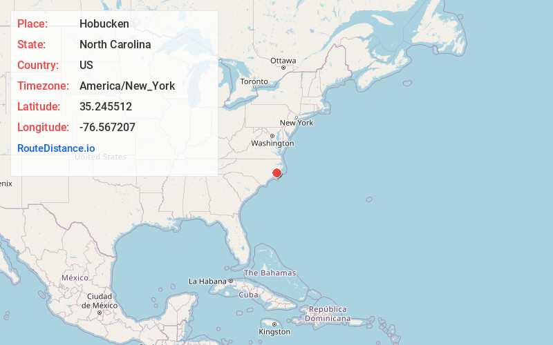
Full AddressHobucken, NC 28537
-
Coordinates35.2455115, -76.5672066
-
LocationHobucken , North Carolina , US
-
TimezoneAmerica/New_York
-
Current Local Time8:47:01 AM America/New_YorkMonday, June 2, 2025
-
Page Views0
About Hobucken
Hobucken is an unincorporated community and census-designated place in Pamlico County, North Carolina, United States. Its population was 38 as of the 2020 census. Hobucken has a post office with ZIP code 28537. North Carolina Highway 33 and North Carolina Highway 304 pass through in the community.


Nearby Places
Found 10 places within 50 miles

Mesic
5.3 mi
8.5 km
Mesic, NC
Get directions
Vandemere
6.9 mi
11.1 km
Vandemere, NC 28587
Get directions
Stonewall
12.6 mi
20.3 km
Stonewall, NC
Get directions

Aurora
13.2 mi
21.2 km
Aurora, NC 27806
Get directions

Bayboro
13.5 mi
21.7 km
Bayboro, NC 28515
Get directions

Alliance
15.0 mi
24.1 km
Alliance, NC
Get directions

Oriental
16.4 mi
26.4 km
Oriental, NC 28571
Get directions
Grantsboro
17.2 mi
27.7 km
Grantsboro, NC
Get directions

Swanquarter
17.4 mi
28.0 km
Swanquarter, NC 27885
Get directions
Bayview
18.3 mi
29.5 km
Bayview, NC 27808
Get directions
Location Links
Local Weather
Weather Information
Coming soon!
Location Map
Static map view of Hobucken, North Carolina
Browse Places by Distance
Places within specific distances from Hobucken
Short Distances
Long Distances
Click any distance to see all places within that range from Hobucken. Distances shown in miles (1 mile ≈ 1.61 kilometers).