Distance to Hockinson, Washington

Calculating Your Route
Just a moment while we process your request...
Location Information
-
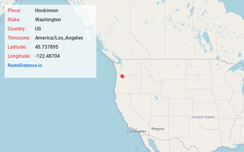
Full AddressHockinson, WA
-
Coordinates45.7378945, -122.4870402
-
LocationHockinson , Washington , US
-
TimezoneAmerica/Los_Angeles
-
Current Local Time1:48:14 AM America/Los_AngelesWednesday, June 18, 2025
-
Page Views0
About Hockinson
Hockinson is a census-designated place in Clark County, Washington, United States. The population was 6,105 at the 2020 census.
Based on per capita income, one of the more reliable measures of affluence, Hockinson ranks 86th of 522 areas in the state of Washington to be ranked.


Nearby Places
Found 10 places within 50 miles

Orchards
3.6 mi
5.8 km
Orchards, WA
Get directions

Battle Ground
3.8 mi
6.1 km
Battle Ground, WA
Get directions

Five Corners
6.0 mi
9.7 km
Five Corners, WA
Get directions

Barberton
6.3 mi
10.1 km
Barberton, WA
Get directions

Mt Vista
6.4 mi
10.3 km
Mt Vista, WA
Get directions

Salmon Creek
8.0 mi
12.9 km
Salmon Creek, WA
Get directions

Minnehaha
8.5 mi
13.7 km
Minnehaha, WA 98661
Get directions

Lake Shore
10.4 mi
16.7 km
Lake Shore, WA
Get directions

Felida
10.8 mi
17.4 km
Felida, WA 98685
Get directions

Ridgefield
11.2 mi
18.0 km
Ridgefield, WA 98642
Get directions
Location Links
Local Weather
Weather Information
Coming soon!
Location Map
Static map view of Hockinson, Washington
Browse Places by Distance
Places within specific distances from Hockinson
Short Distances
Long Distances
Click any distance to see all places within that range from Hockinson. Distances shown in miles (1 mile ≈ 1.61 kilometers).