Distance to Hode, Kentucky

Calculating Your Route
Just a moment while we process your request...
Location Information
-
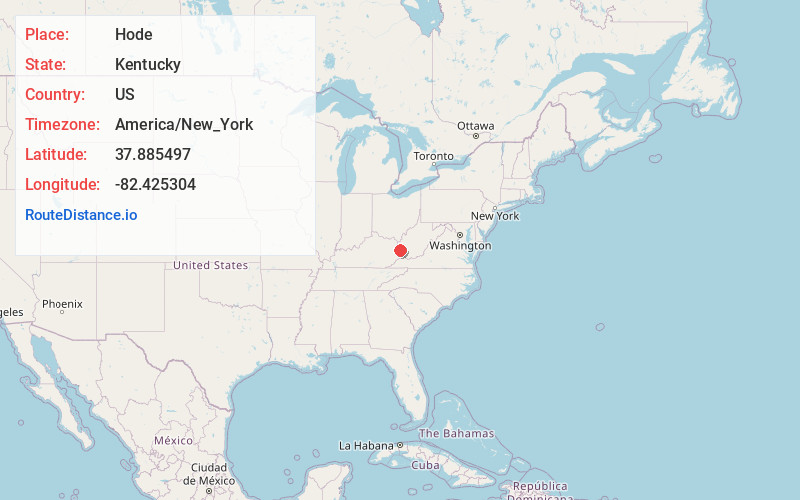
Full AddressHode, KY 41267
-
Coordinates37.8854968, -82.4253038
-
LocationHode , Kentucky , US
-
TimezoneAmerica/New_York
-
Current Local Time9:53:53 AM America/New_YorkThursday, May 29, 2025
-
Page Views0
About Hode
Hode is an unincorporated community in Martin County, Kentucky, United States. Hode is located along the Tug Fork and Kentucky Route 292 2.9 miles north-northwest of Warfield.
A post office was established in the community in 1921, and named for Hodeviah Hensley, the son of a local minister.
Nearby Places
Found 10 places within 50 miles

Stepptown
1.6 mi
2.6 km
Stepptown, WV 25674
Get directions
Crum
1.8 mi
2.9 km
Crum, WV 25669
Get directions
Greyeagle
2.5 mi
4.0 km
Greyeagle, WV 25674
Get directions
Warfield
2.9 mi
4.7 km
Warfield, KY
Get directions

Kermit
3.0 mi
4.8 km
Kermit, WV 25674
Get directions
Tripp
4.0 mi
6.4 km
Tripp, WV 25669
Get directions
Pilgrim
6.0 mi
9.7 km
Pilgrim, KY 41231
Get directions

Inez
6.3 mi
10.1 km
Inez, KY 41224
Get directions
Webb
6.6 mi
10.6 km
Webb, WV 25669
Get directions
Job
6.8 mi
10.9 km
Job, KY 41224
Get directions
Location Links
Local Weather
Weather Information
Coming soon!
Location Map
Static map view of Hode, Kentucky
Browse Places by Distance
Places within specific distances from Hode
Short Distances
Long Distances
Click any distance to see all places within that range from Hode. Distances shown in miles (1 mile ≈ 1.61 kilometers).