Distance to Hoffman, Missouri

Calculating Your Route
Just a moment while we process your request...
Location Information
-
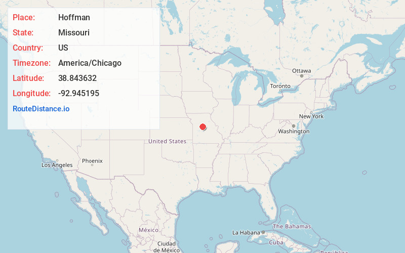
Full AddressHoffman, Clear Creek Township, MO 65276
-
Coordinates38.8436316, -92.945195
-
LocationClear Creek Township , Missouri , US
-
TimezoneAmerica/Chicago
-
Current Local Time10:05:06 AM America/ChicagoSunday, June 1, 2025
-
Page Views0
Nearby Places
Found 10 places within 50 miles

Pilot Grove
2.8 mi
4.5 km
Pilot Grove, MO 65276
Get directions

Bellair
5.5 mi
8.9 km
Bellair, MO 65276
Get directions
New Lebanon
5.5 mi
8.9 km
New Lebanon, Lebanon Township, MO 65237
Get directions
Chouteau Springs
6.2 mi
10.0 km
Chouteau Springs, MO 65233
Get directions

Clifton City
7.5 mi
12.1 km
Clifton City, MO 65348
Get directions
Postal
8.3 mi
13.4 km
Postal, Heath Creek Township, MO 65347
Get directions

Bunceton
8.7 mi
14.0 km
Bunceton, MO 65237
Get directions
Billingsville
9.1 mi
14.6 km
Billingsville, MO 65233
Get directions

Blackwater
9.8 mi
15.8 km
Blackwater, MO 65322
Get directions
Ridge Prairie
10.2 mi
16.4 km
Ridge Prairie, MO 65347
Get directions
Location Links
Local Weather
Weather Information
Coming soon!
Location Map
Static map view of Hoffman, Missouri
Browse Places by Distance
Places within specific distances from Hoffman
Short Distances
Long Distances
Click any distance to see all places within that range from Hoffman. Distances shown in miles (1 mile ≈ 1.61 kilometers).