Distance to Holden, Louisiana

Calculating Your Route
Just a moment while we process your request...
Location Information
-
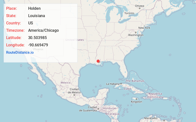
Full AddressHolden, LA 70744
-
Coordinates30.5039849, -90.6694787
-
LocationHolden , Louisiana , US
-
TimezoneAmerica/Chicago
-
Current Local Time11:13:49 PM America/ChicagoWednesday, June 4, 2025
-
Page Views0
About Holden
Holden is an unincorporated community located on U.S. Highway 190 between Albany and Livingston in Livingston Parish, Louisiana, United States. Holden is in a section of land awarded to Micajah "Cage" Spiller by a Spanish land grant.


Nearby Places
Found 10 places within 50 miles

Livingston
4.7 mi
7.6 km
Livingston, LA 70754
Get directions

Albany
5.2 mi
8.4 km
Albany, LA
Get directions

Woodhaven
7.0 mi
11.3 km
Woodhaven, LA 70466
Get directions

Springfield
8.9 mi
14.3 km
Springfield, LA 70462
Get directions
Killian
11.2 mi
18.0 km
Killian, LA 70462
Get directions
Natalbany
11.4 mi
18.3 km
Natalbany, LA
Get directions

Walker
11.5 mi
18.5 km
Walker, LA
Get directions
Verdun
12.0 mi
19.3 km
Verdun, LA 70754
Get directions

Tickfaw
12.2 mi
19.6 km
Tickfaw, LA 70466
Get directions
Wadesboro
12.3 mi
19.8 km
Wadesboro, LA 70454
Get directions
Location Links
Local Weather
Weather Information
Coming soon!
Location Map
Static map view of Holden, Louisiana
Browse Places by Distance
Places within specific distances from Holden
Short Distances
Long Distances
Click any distance to see all places within that range from Holden. Distances shown in miles (1 mile ≈ 1.61 kilometers).