Distance to Holland, North Carolina

Calculating Your Route
Just a moment while we process your request...
Location Information
-
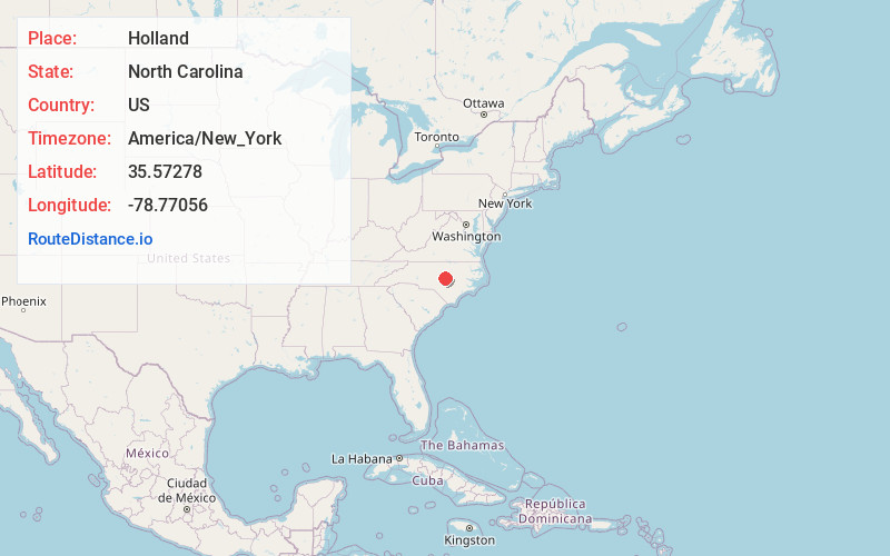
Full AddressHolland, NC 27526
-
Coordinates35.57278, -78.77056
-
LocationHolland , North Carolina , US
-
TimezoneAmerica/New_York
-
Current Local Time1:31:52 PM America/New_YorkSaturday, June 21, 2025
-
Page Views0
About Holland
Holland is an unincorporated community in Wake County, North Carolina, United States, east of Five Points. It lies at an elevation of 410 feet.
Neills Creek, a tributary to the Cape Fear River, rises in a pond in Holland.
Nearby Places
Found 10 places within 50 miles

Fuquay-Varina
1.8 mi
2.9 km
Fuquay-Varina, NC
Get directions

Macks Village
4.8 mi
7.7 km
Macks Village, NC 27526
Get directions

Angier
4.9 mi
7.9 km
Angier, NC
Get directions

Duncan
5.8 mi
9.3 km
Duncan, NC 27526
Get directions

Holly Springs
6.5 mi
10.5 km
Holly Springs, NC
Get directions
McCullers Crossroads
7.5 mi
12.1 km
McCullers Crossroads, Garner, NC 27603
Get directions
Ogburn Crossroads
7.5 mi
12.1 km
Ogburn Crossroads, NC 27592
Get directions
Juniper
8.3 mi
13.4 km
Juniper, NC 27603
Get directions
Hollemans Crossroads
8.4 mi
13.5 km
Hollemans Crossroads, NC 27562
Get directions
McGee Mill
10.8 mi
17.4 km
McGee Mill, NC 27501
Get directions
Location Links
Local Weather
Weather Information
Coming soon!
Location Map
Static map view of Holland, North Carolina
Browse Places by Distance
Places within specific distances from Holland
Short Distances
Long Distances
Click any distance to see all places within that range from Holland. Distances shown in miles (1 mile ≈ 1.61 kilometers).