Distance to Holman, Washington

Calculating Your Route
Just a moment while we process your request...
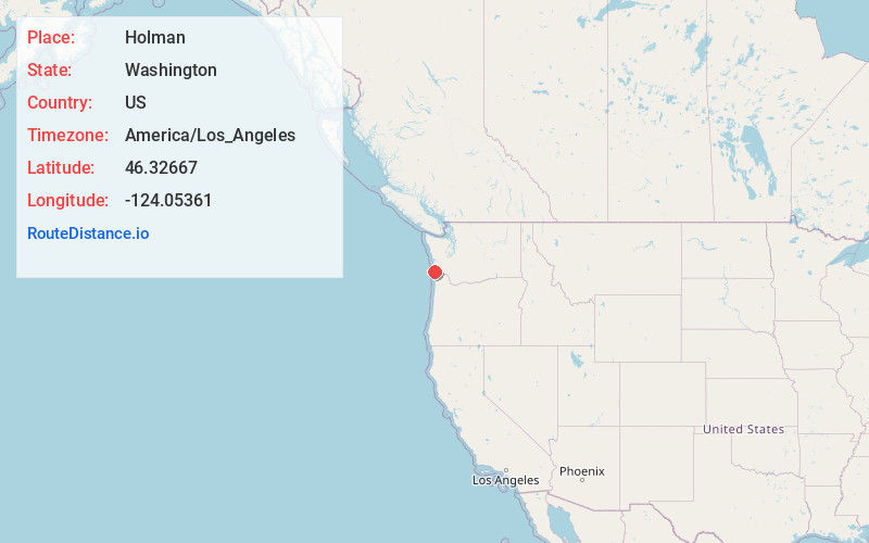
Location Information
-
Full AddressHolman, WA 98631
-
Coordinates46.32667, -124.05361
-
LocationHolman , Washington , US
-
TimezoneAmerica/Los_Angeles
-
Current Local Time10:32:35 PM America/Los_AngelesWednesday, June 4, 2025
-
Page Views0
About Holman
Holman was a stop on the Ilwaco Railway and Navigation Company's narrow gauge line that ran on the Long Beach Peninsula in Pacific County, Washington, USA from 1889 to 1930. Development in the area began when James Duval Holman. received a donation land claim on the west side of what is now Ilwaco.
Nearby Places
Found 10 places within 50 miles

Seaview
0.5 mi
0.8 km
Seaview, WA 98644
Get directions

Ilwaco
1.3 mi
2.1 km
Ilwaco, WA 98624
Get directions

Long Beach
1.8 mi
2.9 km
Long Beach, WA
Get directions

Stringtown
3.8 mi
6.1 km
Stringtown, WA 98614
Get directions

Oceanside
5.6 mi
9.0 km
Oceanside, WA 98631
Get directions

Chinook
6.4 mi
10.3 km
Chinook, WA 98614
Get directions
McGowan
9.0 mi
14.5 km
McGowan, WA 98614
Get directions

Ocean Park
11.4 mi
18.3 km
Ocean Park, WA
Get directions

Naselle
11.9 mi
19.2 km
Naselle, WA 98638
Get directions
Knappton
11.9 mi
19.2 km
Knappton, WA 98638
Get directions
Location Links
Local Weather
Weather Information
Coming soon!
Location Map
Static map view of Holman, Washington
Browse Places by Distance
Places within specific distances from Holman
Short Distances
Long Distances
Click any distance to see all places within that range from Holman. Distances shown in miles (1 mile ≈ 1.61 kilometers).