Distance to Holmes City, Minnesota

Calculating Your Route
Just a moment while we process your request...
Location Information
-
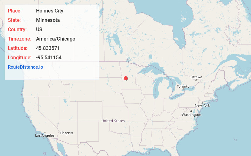
Full AddressHolmes City, MN 56327
-
Coordinates45.8335713, -95.5411544
-
LocationHolmes City , Minnesota , US
-
TimezoneAmerica/Chicago
-
Current Local Time9:56:19 PM America/ChicagoWednesday, July 2, 2025
-
Page Views0
About Holmes City
Holmes City is an unincorporated community in Douglas County, Minnesota, United States. Holmes City is 9 miles southwest of Alexandria. Holmes City has a post office with ZIP code 56341.
A post office called Holmes City has been in operation since 1868.
Nearby Places
Found 10 places within 50 miles

Farwell
6.8 mi
10.9 km
Farwell, MN 56327
Get directions

Garfield
7.8 mi
12.6 km
Garfield, MN 56332
Get directions

Kensington
8.4 mi
13.5 km
Kensington, MN 56343
Get directions

Alexandria
8.6 mi
13.8 km
Alexandria, MN 56308
Get directions

Lowry
9.0 mi
14.5 km
Lowry, MN 56349
Get directions

Forada
9.4 mi
15.1 km
Forada, MN 56308
Get directions

Brandon
9.5 mi
15.3 km
Brandon, MN 56315
Get directions

Hoffman
12.2 mi
19.6 km
Hoffman, MN 56339
Get directions
Evansville
13.6 mi
21.9 km
Evansville, MN 56326
Get directions

Long Beach
13.7 mi
22.0 km
Long Beach, MN 56334
Get directions
Location Links
Local Weather
Weather Information
Coming soon!
Location Map
Static map view of Holmes City, Minnesota
Browse Places by Distance
Places within specific distances from Holmes City
Short Distances
Long Distances
Click any distance to see all places within that range from Holmes City. Distances shown in miles (1 mile ≈ 1.61 kilometers).