Distance to Holmes Township, Michigan

Calculating Your Route
Just a moment while we process your request...
Location Information
-
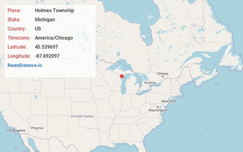
Full AddressHolmes Township, MI
-
Coordinates45.5396966, -87.6920967
-
LocationHolmes Township , Michigan , US
-
TimezoneAmerica/Chicago
-
Current Local Time4:30:34 AM America/ChicagoSunday, June 1, 2025
-
Page Views0
About Holmes Township
Holmes Township is a civil township of Menominee County in the U.S. state of Michigan. The population was 341 at the 2020 census.
Nearby Places
Found 10 places within 50 miles

Gardner
0.8 mi
1.3 km
Gardner, MI 49821
Get directions
Banat
1.5 mi
2.4 km
Banat, MI 49821
Get directions
Nathan
2.8 mi
4.5 km
Nathan, MI 49821
Get directions
Swanson
4.6 mi
7.4 km
Swanson, MI 49887
Get directions
Talbot
5.0 mi
8.0 km
Talbot, MI 49821
Get directions

Daggett
6.7 mi
10.8 km
Daggett, MI 49821
Get directions
Nadeau Township
7.0 mi
11.3 km
Nadeau Township, MI
Get directions

Carney
7.3 mi
11.7 km
Carney, MI 49812
Get directions
Kells
7.3 mi
11.7 km
Kells, MI 49887
Get directions
Blom
8.0 mi
12.9 km
Blom, MI 49892
Get directions
Location Links
Local Weather
Weather Information
Coming soon!
Location Map
Static map view of Holmes Township, Michigan
Browse Places by Distance
Places within specific distances from Holmes Township
Short Distances
Long Distances
Click any distance to see all places within that range from Holmes Township. Distances shown in miles (1 mile ≈ 1.61 kilometers).