Distance to Holopaw, Florida

Calculating Your Route
Just a moment while we process your request...
Location Information
-
Full AddressHolopaw, St Cloud, FL 34773
-
Coordinates28.135847, -81.07613
-
NeighborhoodHolopaw
-
LocationSt Cloud , Florida , US
-
TimezoneAmerica/New_York
-
Current Local Time2:37:53 AM America/New_YorkThursday, July 3, 2025
-
Page Views0
About Holopaw
Holopaw is an unincorporated community in Osceola County, Florida, United States. It is located at the eastern end of the multiplex of highways US 192 and US 441. It has a population of fewer than 5,000 people and is part of the Orlando-Kissimmee Metropolitan Statistical Area.


Nearby Places
Found 10 places within 50 miles

Osceola County
2.3 mi
3.7 km
Osceola County, FL
Get directions

Pine Grove
10.8 mi
17.4 km
Pine Grove, FL 34771
Get directions
New Eden
11.7 mi
18.8 km
New Eden, FL 34771
Get directions
Runnymede
14.3 mi
23.0 km
Runnymede, FL 34771
Get directions

St Cloud
14.7 mi
23.7 km
St Cloud, FL
Get directions

Narcoossee
15.0 mi
24.1 km
Narcoossee, FL 34771
Get directions
Lake Mary Jane
17.4 mi
28.0 km
Lake Mary Jane, FL 32832
Get directions
Lake Marian Highlands
18.0 mi
29.0 km
Lake Marian Highlands, FL 34739
Get directions
Whittier
18.7 mi
30.1 km
Whittier, FL 34739
Get directions
Lake Hart
19.7 mi
31.7 km
Lake Hart, FL 32832
Get directions
Location Links
Local Weather
Weather Information
Coming soon!
Location Map
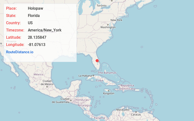
Static map view of Holopaw, Florida
Browse Places by Distance
Places within specific distances from Holopaw
Short Distances
Long Distances
Click any distance to see all places within that range from Holopaw. Distances shown in miles (1 mile ≈ 1.61 kilometers).