Distance to Holyrood, Kansas

Calculating Your Route
Just a moment while we process your request...
Location Information
-
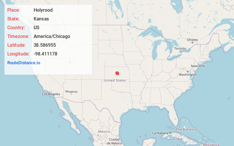
Full AddressHolyrood, KS 67450
-
Coordinates38.5869549, -98.4111777
-
LocationHolyrood , Kansas , US
-
TimezoneAmerica/Chicago
-
Current Local Time8:14:34 PM America/ChicagoFriday, June 13, 2025
-
Page Views0
About Holyrood
Holyrood is a city in Ellsworth County, Kansas, United States. As of the 2020 census, the population of the city was 403.
Nearby Places
Found 10 places within 50 miles

Claflin
7.9 mi
12.7 km
Claflin, KS 67525
Get directions

Ellsworth
14.0 mi
22.5 km
Ellsworth, KS 67439
Get directions

Kanopolis
16.2 mi
26.1 km
Kanopolis, KS 67454
Get directions

Chase
16.4 mi
26.4 km
Chase, KS 67524
Get directions

Wilson
16.8 mi
27.0 km
Wilson, KS 67490
Get directions

Ellinwood
18.4 mi
29.6 km
Ellinwood, KS
Get directions

Lyons
20.2 mi
32.5 km
Lyons, KS 67554
Get directions

Hoisington
20.4 mi
32.8 km
Hoisington, KS 67544
Get directions

Great Bend
24.5 mi
39.4 km
Great Bend, KS 67530
Get directions

Sterling
28.3 mi
45.5 km
Sterling, KS 67579
Get directions
Location Links
Local Weather
Weather Information
Coming soon!
Location Map
Static map view of Holyrood, Kansas
Browse Places by Distance
Places within specific distances from Holyrood
Short Distances
Long Distances
Click any distance to see all places within that range from Holyrood. Distances shown in miles (1 mile ≈ 1.61 kilometers).