Distance to Kanopolis, Kansas

Calculating Your Route
Just a moment while we process your request...
Location Information
-
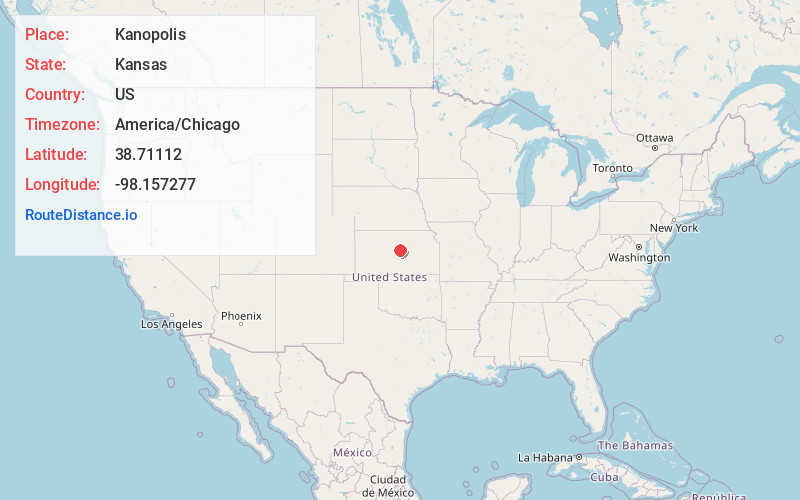
Full AddressKanopolis, KS 67454
-
Coordinates38.7111197, -98.1572769
-
LocationKanopolis , Kansas , US
-
TimezoneAmerica/Chicago
-
Current Local Time1:30:56 AM America/ChicagoWednesday, May 21, 2025
-
Page Views0
About Kanopolis
Kanopolis is a city in Ellsworth County, Kansas, United States. As of the 2020 census, the population of the city was 443. It was built on the site of Fort Harker, a United States Army post that housed infantry and cavalry troops involved in the Indian Wars from 1867 to 1872.

Nearby Places
Found 10 places within 50 miles

Ellsworth
4.0 mi
6.4 km
Ellsworth, KS 67439
Get directions

Wilson
18.9 mi
30.4 km
Wilson, KS 67490
Get directions

Marquette
20.5 mi
33.0 km
Marquette, KS 67464
Get directions

Lincoln
22.8 mi
36.7 km
Lincoln, KS 67455
Get directions

Lyons
25.4 mi
40.9 km
Lyons, KS 67554
Get directions

Lindsborg
27.7 mi
44.6 km
Lindsborg, KS 67456
Get directions

Salina
30.7 mi
49.4 km
Salina, KS
Get directions

Ellinwood
33.6 mi
54.1 km
Ellinwood, KS
Get directions

Sterling
34.7 mi
55.8 km
Sterling, KS 67579
Get directions

McPherson
35.5 mi
57.1 km
McPherson, KS 67460
Get directions
Location Links
Local Weather
Weather Information
Coming soon!
Location Map
Static map view of Kanopolis, Kansas
Browse Places by Distance
Places within specific distances from Kanopolis
Short Distances
Long Distances
Click any distance to see all places within that range from Kanopolis. Distances shown in miles (1 mile ≈ 1.61 kilometers).