Distance to Homerville, Ohio

Calculating Your Route
Just a moment while we process your request...
Location Information
-
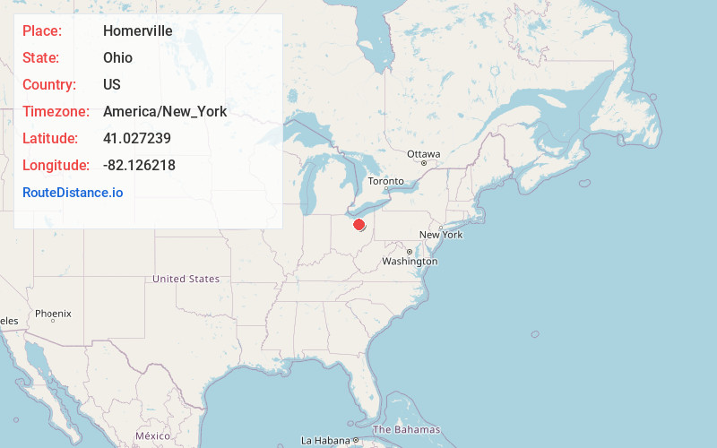
Full AddressHomerville, OH 44235
-
Coordinates41.0272388, -82.1262175
-
LocationHomerville , Ohio , US
-
TimezoneAmerica/New_York
-
Current Local Time10:37:26 AM America/New_YorkMonday, June 23, 2025
-
Page Views0
About Homerville
Homerville is an unincorporated community in central Homer Township, Medina County, Ohio, United States. It has a post office with the ZIP code 44235. It lies at the intersection of U.S. Route 224 with State Route 301.


Nearby Places
Found 10 places within 50 miles

Esselburn
2.5 mi
4.0 km
Esselburn, Homer Township, OH 44235
Get directions

West Salem
3.9 mi
6.3 km
West Salem, OH 44287
Get directions
Cinnamon Lake
4.7 mi
7.6 km
Cinnamon Lake, OH 44287
Get directions

Sullivan
5.0 mi
8.0 km
Sullivan, OH 44880
Get directions

Spencer
5.1 mi
8.2 km
Spencer, OH 44275
Get directions

Lodi
6.0 mi
9.7 km
Lodi, OH 44254
Get directions

Burbank
7.3 mi
11.7 km
Burbank, OH 44214
Get directions
Polk
7.4 mi
11.9 km
Polk, OH 44866
Get directions
Congress
8.0 mi
12.9 km
Congress, OH 44287
Get directions
West Canaan
8.9 mi
14.3 km
West Canaan, OH 44214
Get directions
Location Links
Local Weather
Weather Information
Coming soon!
Location Map
Static map view of Homerville, Ohio
Browse Places by Distance
Places within specific distances from Homerville
Short Distances
Long Distances
Click any distance to see all places within that range from Homerville. Distances shown in miles (1 mile ≈ 1.61 kilometers).