Distance to Sullivan, Ohio

Calculating Your Route
Just a moment while we process your request...
Location Information
-
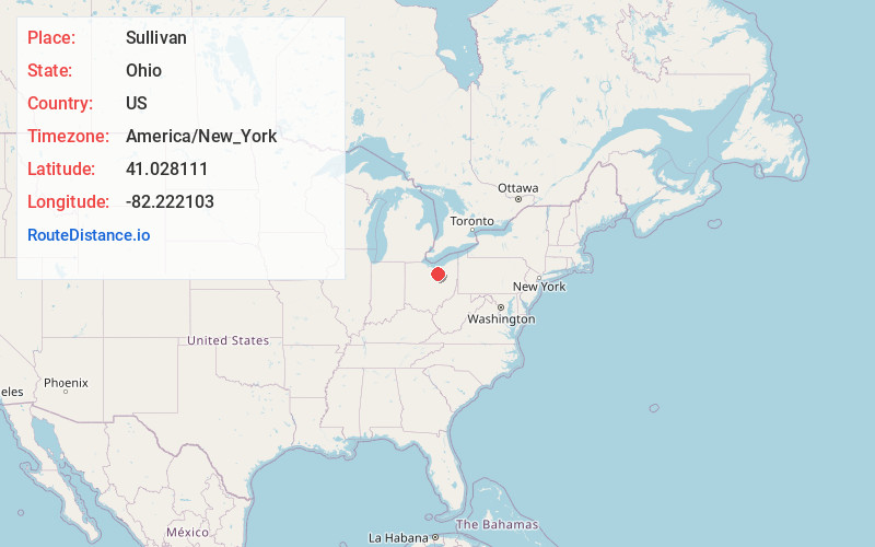
Full AddressSullivan, OH 44880
-
Coordinates41.0281106, -82.2221033
-
LocationSullivan , Ohio , US
-
TimezoneAmerica/New_York
-
Current Local Time1:41:57 AM America/New_YorkThursday, May 29, 2025
-
Page Views0
About Sullivan
Sullivan is an unincorporated community and census designated place in central Sullivan Township, Ashland County, Ohio, United States. It has a post office with the ZIP code 44880. It lies at the intersection of U.S. Route 224 with State Route 58.

Nearby Places
Found 10 places within 50 miles

Cinnamon Lake
3.5 mi
5.6 km
Cinnamon Lake, OH 44287
Get directions

West Salem
7.0 mi
11.3 km
West Salem, OH 44287
Get directions

Wellington
9.7 mi
15.6 km
Wellington, OH 44090
Get directions

New London
10.1 mi
16.3 km
New London, OH 44851
Get directions

Lodi
11.0 mi
17.7 km
Lodi, OH 44254
Get directions

Ashland
12.1 mi
19.5 km
Ashland, OH 44805
Get directions

Westfield Center
15.1 mi
24.3 km
Westfield Center, OH
Get directions
Greenwich
15.3 mi
24.6 km
Greenwich, OH 44837
Get directions

Lagrange
15.4 mi
24.8 km
Lagrange, OH 44050
Get directions

Creston
17.4 mi
28.0 km
Creston, OH 44217
Get directions
Location Links
Local Weather
Weather Information
Coming soon!
Location Map
Static map view of Sullivan, Ohio
Browse Places by Distance
Places within specific distances from Sullivan
Short Distances
Long Distances
Click any distance to see all places within that range from Sullivan. Distances shown in miles (1 mile ≈ 1.61 kilometers).