Distance to Homestead, Florida

Calculating Your Route
Just a moment while we process your request...
Location Information
-
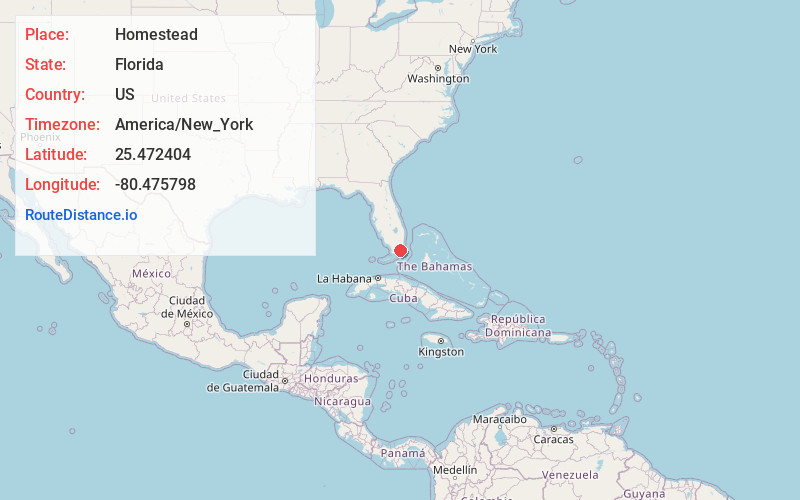
Full AddressHomestead, FL
-
Coordinates25.4724038, -80.4757976
-
LocationHomestead , Florida , US
-
TimezoneAmerica/New_York
-
Current Local Time5:24:58 AM America/New_YorkWednesday, June 18, 2025
-
Website
-
Page Views0
About Homestead
Homestead is a city within Miami-Dade County in the U.S. state of Florida, between Biscayne National Park to the east and Everglades National Park to the west. Homestead is primarily a Miami suburb and a major agricultural area.


Nearby Places
Found 10 places within 50 miles

Miami
26.7 mi
43.0 km
Miami, FL
Get directions

Hialeah
27.3 mi
43.9 km
Hialeah, FL
Get directions

Miami Beach
30.8 mi
49.6 km
Miami Beach, FL
Get directions

Miami Gardens
35.5 mi
57.1 km
Miami Gardens, FL
Get directions

Miramar
37.1 mi
59.7 km
Miramar, FL
Get directions

Pembroke Pines
38.6 mi
62.1 km
Pembroke Pines, FL
Get directions

Hollywood
42.0 mi
67.6 km
Hollywood, FL
Get directions

Davie
44.0 mi
70.8 km
Davie, FL
Get directions

Plantation
47.7 mi
76.8 km
Plantation, FL
Get directions

Fort Lauderdale
49.6 mi
79.8 km
Fort Lauderdale, FL
Get directions
Location Links
Local Weather
Weather Information
Coming soon!
Location Map
Static map view of Homestead, Florida
Browse Places by Distance
Places within specific distances from Homestead
Short Distances
Long Distances
Click any distance to see all places within that range from Homestead. Distances shown in miles (1 mile ≈ 1.61 kilometers).