Distance to Honey Creek, Iowa

Calculating Your Route
Just a moment while we process your request...
Location Information
-
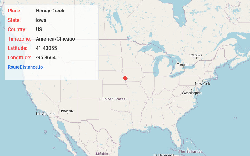
Full AddressHoney Creek, IA 51542
-
Coordinates41.4305503, -95.8663998
-
LocationHoney Creek , Iowa , US
-
TimezoneAmerica/Chicago
-
Current Local Time4:35:09 AM America/ChicagoFriday, May 30, 2025
-
Page Views0
About Honey Creek
Honey Creek is an unincorporated community in Pottawattamie County, Iowa, United States. Its elevation is 1,014 feet. Although it is unincorporated, it has a ZIP code 51542.


Nearby Places
Found 10 places within 50 miles

Crescent
4.6 mi
7.4 km
Crescent, IA 51526
Get directions

Loveland
4.8 mi
7.7 km
Loveland, IA 51555
Get directions
Euclid
7.8 mi
12.6 km
Euclid, IA 51555
Get directions

Fort Calhoun
8.5 mi
13.7 km
Fort Calhoun, NE 68023
Get directions

Missouri Valley
8.8 mi
14.2 km
Missouri Valley, IA 51555
Get directions

Carter Lake
10.0 mi
16.1 km
Carter Lake, IA
Get directions
Underwood
10.3 mi
16.6 km
Underwood, IA 51576
Get directions
Chautauqua
10.4 mi
16.7 km
Chautauqua, IA 51503
Get directions
De Soto
11.0 mi
17.7 km
De Soto, Township 2, NE 68023
Get directions
California Junction
11.2 mi
18.0 km
California Junction, IA 51555
Get directions
Location Links
Local Weather
Weather Information
Coming soon!
Location Map
Static map view of Honey Creek, Iowa
Browse Places by Distance
Places within specific distances from Honey Creek
Short Distances
Long Distances
Click any distance to see all places within that range from Honey Creek. Distances shown in miles (1 mile ≈ 1.61 kilometers).