Distance to Honey Hill, North Carolina

Calculating Your Route
Just a moment while we process your request...
Location Information
-
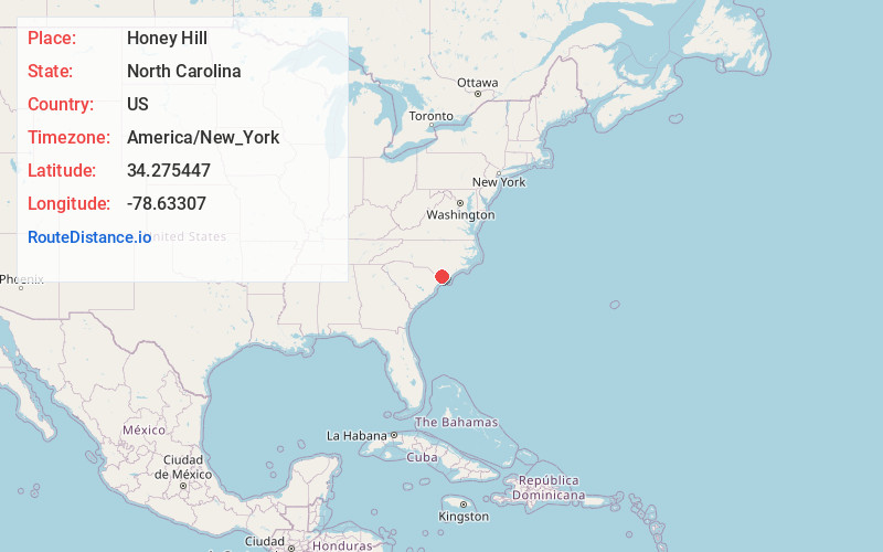
Full AddressHoney Hill, NC 28442
-
Coordinates34.2754465, -78.6330695
-
LocationNorth Carolina , US
-
TimezoneAmerica/New_York
-
Current Local Time10:25:15 AM America/New_YorkTuesday, June 24, 2025
-
Page Views0
Nearby Places
Found 10 places within 50 miles

Redbug
2.6 mi
4.2 km
Redbug, NC 28442
Get directions
Jonesboro Crossing
3.3 mi
5.3 km
Jonesboro Crossing, NC 28442
Get directions
Smith Crossing
3.3 mi
5.3 km
Smith Crossing, NC 28442
Get directions
Hallsboro
3.8 mi
6.1 km
Hallsboro, NC 28442
Get directions
Harrelsonville Crossroads
4.6 mi
7.4 km
Harrelsonville Crossroads, NC 28472
Get directions
Artesia
4.6 mi
7.4 km
Artesia, NC 28442
Get directions
Mark Pine
5.0 mi
8.0 km
Mark Pine, NC 28472
Get directions
South Whiteville
5.1 mi
8.2 km
South Whiteville, Whiteville, NC 28472
Get directions
Baldwin Woods
5.6 mi
9.0 km
Baldwin Woods, Whiteville, NC 28472
Get directions
Whiteville
5.9 mi
9.5 km
Whiteville, NC 28472
Get directions
Location Links
Local Weather
Weather Information
Coming soon!
Location Map
Static map view of Honey Hill, North Carolina
Browse Places by Distance
Places within specific distances from Honey Hill
Short Distances
Long Distances
Click any distance to see all places within that range from Honey Hill. Distances shown in miles (1 mile ≈ 1.61 kilometers).