Distance to Redbug, North Carolina

Calculating Your Route
Just a moment while we process your request...
Location Information
-
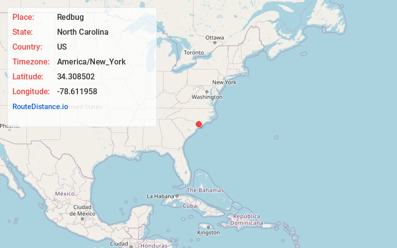
Full AddressRedbug, NC 28442
-
Coordinates34.3085022, -78.6119575
-
LocationNorth Carolina , US
-
TimezoneAmerica/New_York
-
Current Local Time7:45:32 PM America/New_YorkThursday, June 19, 2025
-
Page Views0
Nearby Places
Found 10 places within 50 miles

Jonesboro Crossing
1.1 mi
1.8 km
Jonesboro Crossing, NC 28442
Get directions
Hallsboro
1.2 mi
1.9 km
Hallsboro, NC 28442
Get directions
Baldwin Woods
5.0 mi
8.0 km
Baldwin Woods, Whiteville, NC 28472
Get directions

Lake Waccamaw
5.2 mi
8.4 km
Lake Waccamaw, NC 28450
Get directions
Whiteville
5.6 mi
9.0 km
Whiteville, NC 28472
Get directions
Bolton
12.0 mi
19.3 km
Bolton, NC 28423
Get directions

Chadbourn
12.3 mi
19.8 km
Chadbourn, NC 28431
Get directions
Clarkton
12.6 mi
20.3 km
Clarkton, NC 28433
Get directions
Simmons Bay Creek
14.2 mi
22.9 km
Simmons Bay Creek, North Carolina 28455
Get directions
Powells Crossing
14.3 mi
23.0 km
Powells Crossing, NC 28431
Get directions
Location Links
Local Weather
Weather Information
Coming soon!
Location Map
Static map view of Redbug, North Carolina
Browse Places by Distance
Places within specific distances from Redbug
Short Distances
Long Distances
Click any distance to see all places within that range from Redbug. Distances shown in miles (1 mile ≈ 1.61 kilometers).