Distance to Bolton, North Carolina

Calculating Your Route
Just a moment while we process your request...
Location Information
-
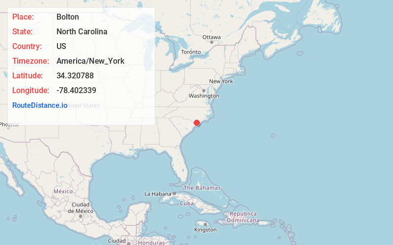
Full AddressBolton, NC 28423
-
Coordinates34.3207875, -78.4023389
-
LocationBolton , North Carolina , US
-
TimezoneAmerica/New_York
-
Current Local Time7:05:11 PM America/New_YorkTuesday, June 17, 2025
-
Website
-
Page Views0
About Bolton
Bolton is a town in Columbus County, North Carolina, United States. The population was 519 at the 2020 census.
Nearby Places
Found 10 places within 50 miles

Lake Waccamaw
6.8 mi
10.9 km
Lake Waccamaw, NC 28450
Get directions

Sandyfield
7.1 mi
11.4 km
Sandyfield, NC 28456
Get directions

Riegelwood
10.2 mi
16.4 km
Riegelwood, NC 28456
Get directions
Northwest
14.6 mi
23.5 km
Northwest, NC
Get directions
Whiteville
17.2 mi
27.7 km
Whiteville, NC 28472
Get directions
Clarkton
18.5 mi
29.8 km
Clarkton, NC 28433
Get directions

Leland
21.9 mi
35.2 km
Leland, NC
Get directions

White Lake
22.6 mi
36.4 km
White Lake, NC 28337
Get directions

Brunswick County
23.3 mi
37.5 km
Brunswick County, NC
Get directions

Shallotte
23.6 mi
38.0 km
Shallotte, NC
Get directions
Location Links
Local Weather
Weather Information
Coming soon!
Location Map
Static map view of Bolton, North Carolina
Browse Places by Distance
Places within specific distances from Bolton
Short Distances
Long Distances
Click any distance to see all places within that range from Bolton. Distances shown in miles (1 mile ≈ 1.61 kilometers).