Distance to Honey Island, Texas

Calculating Your Route
Just a moment while we process your request...
Location Information
-
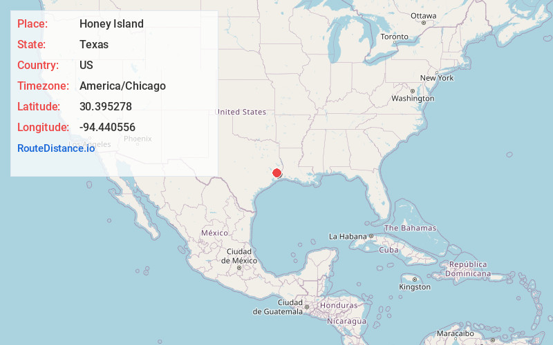
Full AddressHoney Island, TX 77625
-
Coordinates30.395278, -94.440556
-
LocationHoney Island , Texas , US
-
TimezoneAmerica/Chicago
-
Current Local Time8:31:34 PM America/ChicagoFriday, June 6, 2025
-
Page Views0
About Honey Island
Honey Island is an unincorporated community in Hardin County, Texas, United States. It is part of the Beaumont–Port Arthur Metropolitan Statistical Area. The Kountze Independent School District provides public schools for area students.


Nearby Places
Found 10 places within 50 miles

Lelavale
2.7 mi
4.3 km
Lelavale, TX 77625
Get directions

Kountze
7.8 mi
12.6 km
Kountze, TX 77625
Get directions

Wildwood
8.9 mi
14.3 km
Wildwood, TX
Get directions
Saratoga
9.3 mi
15.0 km
Saratoga, TX
Get directions
Thicket
11.3 mi
18.2 km
Thicket, TX 77374
Get directions
Batson
14.2 mi
22.9 km
Batson, TX 77519
Get directions

Warren
15.3 mi
24.6 km
Warren, TX 77664
Get directions

Silsbee
16.0 mi
25.7 km
Silsbee, TX 77656
Get directions
Seth
16.7 mi
26.9 km
Seth, TX 77656
Get directions

Lumberton
16.9 mi
27.2 km
Lumberton, TX 77657
Get directions
Location Links
Local Weather
Weather Information
Coming soon!
Location Map
Static map view of Honey Island, Texas
Browse Places by Distance
Places within specific distances from Honey Island
Short Distances
Long Distances
Click any distance to see all places within that range from Honey Island. Distances shown in miles (1 mile ≈ 1.61 kilometers).