Distance to Hooker County, Nebraska

Calculating Your Route
Just a moment while we process your request...
Location Information
-
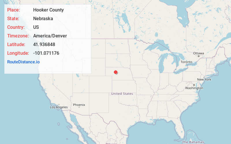
Full AddressHooker County, NE
-
Coordinates41.9368476, -101.0711758
-
LocationNebraska , US
-
TimezoneAmerica/Denver
-
Current Local Time5:24:36 AM America/DenverSaturday, June 7, 2025
-
Page Views0
About Hooker County
Hooker County is a county in the U.S. state of Nebraska. As of the 2020 United States census, the population was 711. Its county seat is Mullen, which is the county's only community of substantial size.

Nearby Places
Found 10 places within 50 miles
Mullen
7.4 mi
11.9 km
Mullen, NE 69152
Get directions

Kelso
10.5 mi
16.9 km
Kelso, NE 69152
Get directions
Seneca
14.2 mi
22.9 km
Seneca, NE 69161
Get directions
Weir
16.7 mi
26.9 km
Weir, NE 69152
Get directions
Norway
18.6 mi
29.9 km
Norway, NE 69166
Get directions
Hire
24.2 mi
38.9 km
Hire, Lackey Precinct, NE 69366
Get directions
Whitman
24.3 mi
39.1 km
Whitman, NE 69366
Get directions

Thedford
25.6 mi
41.2 km
Thedford, NE 69166
Get directions
Tryon
27.1 mi
43.6 km
Tryon, NE 69167
Get directions
Lena
27.4 mi
44.1 km
Lena, NE 69366
Get directions
Location Links
Local Weather
Weather Information
Coming soon!
Location Map
Static map view of Hooker County, Nebraska
Browse Places by Distance
Places within specific distances from Hooker County
Short Distances
Long Distances
Click any distance to see all places within that range from Hooker County. Distances shown in miles (1 mile ≈ 1.61 kilometers).